What is recorded here
In a slight hollow overlooking lower ground to the S and higher land towards the N. Named 'R.C. Chapel' on the 1838 edition of the OS 6-inch map and depicted as a roofed building aligned NW-SE. Another smaller building aligned NE-SW is shown to its NE. No visible surface trace of either building survives. The chapel was probably replaced by 'St. Teresa's R.C. Church', which is located c. 100m to the W.
Compiled by: Olive Alcock
Date of upload: 21 September 2017
The monument record does not grant public access. Check the route and ask the landowner before entering private land.
- What survives
- Recorded monument
Places near here
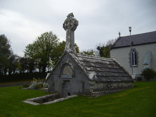 Saint Teresa's Catholic Churchmausoleum · 103 yd
 Church (in ruins)Church · 468 yd
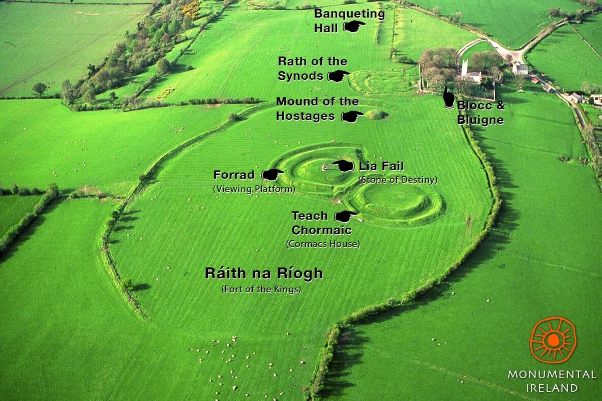 Inauguration site in Grannagh (loughrea By.)Inauguration site · 1215 yd
 Castle (in ruins)Castle, Anglo-Norman masonry castle · 1284 yd
 Designed landscapeDesigned landscape, folly · 1452 yd
 Bawn in Cloghaun (loughrea By.)Bawn · 1.2 mi
 KnockapollboyMountain / peak · 3.5 mi
 European ashEuropean ash · 3.9 mi
 HawthornHawthorn · 3.9 mi
 Scalpeen RockNamed rock · 4.1 mi
 KnocknarebanaMountain / peak · 5.3 mi
 Derrybrien Bog SlideHeritage attraction · 5.9 mi