
What is recorded here
On a gently NW-facing slope In pastureland, c. 230m to the N of a tower house (GA114-052001-). All that survives is a low overgrown irregular mound (L c. 6m; Wth c. 6m). A number of cut-stone fragments, including window mullions, reused in a nearby field wall suggest the former presence of a building of medieval date.
Compiled by: Galway Archaeological Survey, UCG
Date of upload: 29 January 2020
The monument record does not grant public access. Check the route and ask the landowner before entering private land.
- What survives
- Recorded monument
Places near here
 Castle Dalyhouse · 254 yd
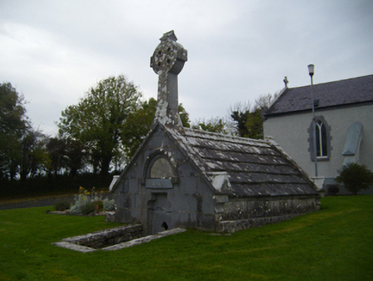 Saint Teresa's Catholic Churchmausoleum · 414 yd
 Enclosure in LissadultaEnclosure · 1212 yd
 Enclosure in Bullaunagh (kiltartan By.)Enclosure · 1300 yd
 Castle (in ruins)Castle, Anglo-Norman masonry castle · 1747 yd
 Bawn in Cloghaun (loughrea By.)Bawn · 1.5 mi
 KnockapollboyMountain / peak · 3.4 mi
 European ashEuropean ash · 3.7 mi
 HawthornHawthorn · 3.7 mi
 Scalpeen RockNamed rock · 4.1 mi
 KnocknarebanaMountain / peak · 5.1 mi
 Derrybrien Bog SlideHeritage attraction · 5.8 mi
Other information
Photo: Credit not shown in the picture search · Rights wording not checked; contact us if this picture should be removed