What is recorded here
This is one of two possible 17th-century houses (see CO033-137----) that is shown on the Down Survey (1655-6) Barony map (1654-70) in Quartertown Lower townland. The houses have both been referred to in the 'Archaeological Inventory of County Cork - vol. 4 Noth Cork' (2000, 704) under the entry (no. 15220) for a corn mill (CO033-111----).
The above description is derived from the published 'Archaeological Inventory of County Cork. Volume 4: North Cork' (Dublin: Stationery Office, 2000). In certain instances the entries have been revised and updated in the light of recent research.
Date of upload/revision: 14 January 2009
The monument record does not grant public access. Check the route and ask the landowner before entering private land.
- What survives
- Recorded monument
Places near here
 Blackwater WayWalking route · 330 yd
 Corn Mill AqueductMilling complex · 348 yd
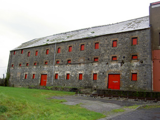 mill (water)mill (water) · 405 yd
 Clyda Br (Lower)Bridge · 474 yd
 Mallow River TrailVisitor information · 1179 yd
 In loving memory of Elvis O'DonoghueMemorial · 1256 yd
 Enclosure in Dromore (duhallow By.)Enclosure · 1.0 mi
 Castle (Site of )Castle, unclassified · 1.2 mi
 Mallow Castle (in Ruins)House, fortified house · 1.4 mi
 Mallow Town Park - Maple WoodsForest · 1.7 mi
 KnockarouraForest · 2.0 mi
 Lover' LeapCliff · 2.0 mi