What is recorded here
Fairy fort / earthen ringfort in Quarryfield is a fairy fort or earthen ringfort in Quarryfield, County Sligo, Ireland. The roughly oval site sits in pasture on a drumlin slope, with an earthen bank forming its eastern and southern edges while a scarp defines the rest. A dry fosse marks the southern exterior, and a field boundary now runs across the western scarp. Another rath lies fifty metres to the south.
In pasture, on the NW-facing slope of a drumlin. A roughly oval area (34m N-S; 29m E-W) defined by an earthen bank (Wth 3m; int. H 1.2m; ext. H 1m) E-S and by a scarp (H 0.9m) elsewhere. A dry external fosse (Wth 4m; D 0.2m) is evident SSE-S. The N portion of the interior is raised c. 0.9m to compensate for the hillslope. A field boundary is built on top of the scarp SSW-WNW. Another rath (SL038-088----) lies c. 50m to S.
The above description is derived from the published 'Archaeological Inventory of County Sligo' compiled by Ursula Egan, Elizabeth Byrne, Mary Sleeman with Sheila Ronan and Connie Murphy (Dublin Stationery Office, 2005).
Date of upload: 18 January 2008
The monument record does not grant public access. Check the route and ask the landowner before entering private land.
- What survives
- Recorded monument
Places near here
 Quarryfield Househouse · 481 yd
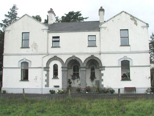 Doobeg Househouse · 1061 yd
 Enclosure in QuarryfieldEnclosure · 1150 yd
 Indicated (1838).Enclosure · 1461 yd
 Castle (in Ruins)Castle, tower house · 1693 yd
 Tymon's HillMountain / peak · 1.2 mi
 Ballyfahy Castle (in Ruins)Castle, unclassified · 1.7 mi
 Muckelty HillMountain / peak · 4.1 mi
 Old Cave Burial GroundArchaeological place · 4.5 mi
 ElderElder · 5.2 mi
 Brother WalfridMemorial · 5.3 mi
 Caves of KeshCave · 7.0 mi