
What is recorded here
Promontory fort stands on a narrow headland above the southern shores of Duvillaun, where a straight collapsed wall still cuts across the neck like a forgotten boundary. The grassy slope hides outcropping rock and ancient stone work, while lazybeds scatter the coarse land around it. People may have watched the sea from that ridge, marked territory or simply lived where the land narrowed before dropping into water.
Situated on a S facing headland 110m long by 45m wide along the southern shores of Duvillaun. The headland lies 3 miles southwest of the Mullet. The area in which the site lies is one of coarse grazing with traces of lazybeds visible all over the island. A straight wall, now collapsed and grassed over runs across the neck of the headland. It is several meters wide and 45m long. Outcropping rock is visible in the interior. This site was seen from the air and was not visited on the ground. It is not marked on any of the OS maps, and was not noted by previous writers.
These descriptions are derived from the MA thesis of Markus Casey 1999 The coastal promontory forts of Ireland. A survey of counties Sligo, Mayo, Galway and Clare. Unpublished MA thesis, National University of Ireland, Galway.
Date of upload: 5 December 2018
The monument record does not grant public access. Check the route and ask the landowner before entering private land.
- What survives
- Recorded monument
Places near here
 Dubhoileán MórIsland · 479 yd
 Church in Dubhoileán MórChurch · 529 yd
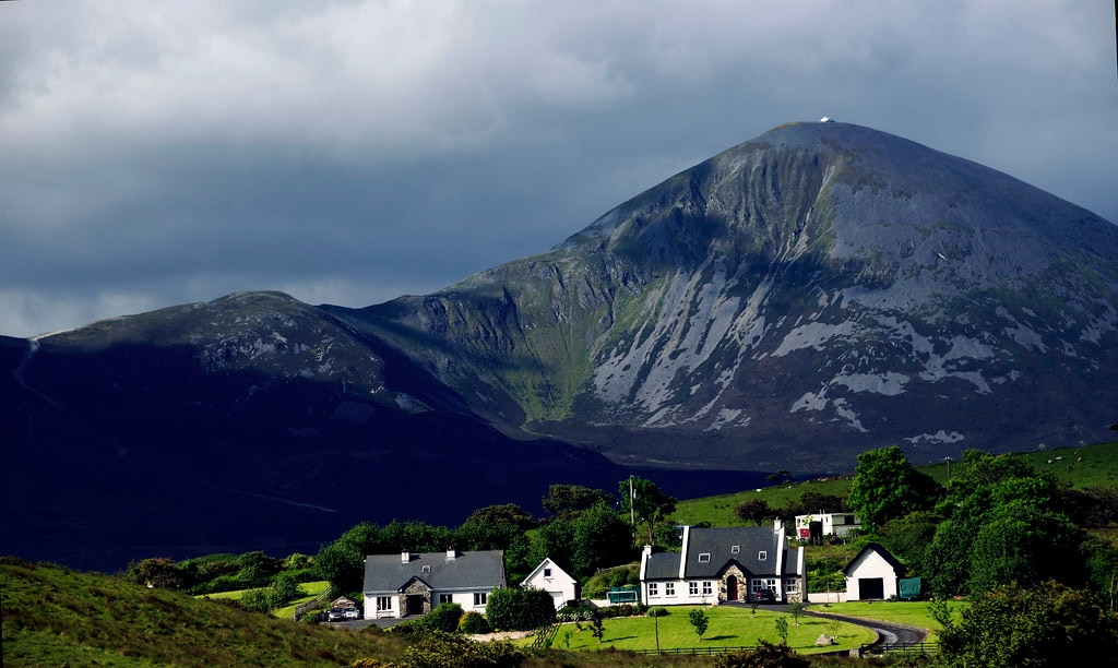 Holy WellHoly well · 697 yd
 Droim an ChapaillIslet · 965 yd
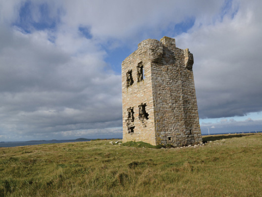 Glash Signal Towersignal tower · 3.0 mi
 Doon (Site of)Promontory fort, coastal · 3.1 mi
 Saddle HeadHeadland · 4.0 mi
 AskilgubroenacoraghHeadland · 4.0 mi
 Termon BeachBeach / strand · 4.5 mi
 Annagh StrandBeach / strand · 5.2 mi
 Site of Redmond Barretts CastleCastle, unclassified · 5.7 mi
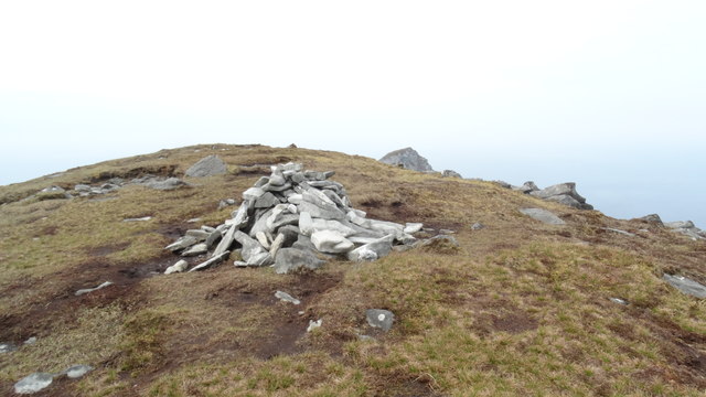 CroaghaunMountain / peak · 6.1 mi
Other information
Photo: Credit not shown in the picture search · Rights wording not checked; contact us if this picture should be removed