What is recorded here
Promontory fort in County Kerry, Ireland is a small triangular headland cut off by a narrow neck where a short bank and deep fosse still mark the old defence. Four small mounds sit on the summit, perhaps made by human hands, while the sea touches the interior and the rocky edges suggest the land was once larger. The place holds like a clenched fist, preserving a little of the shape that the coast has already taken back.
Possible promontory fort described in 2002 as follows; ‘A small triangular headland is separated from the mainland by a narrow isthmus, which exhibits evidence of earlier fortification. A short (5m) length of bank and inner fosse2.5m deep crosses the narrow neck. A modern earthen bank runs along the shoreline, also cutting off the headland. Four small subcircular earth and stone mounds on the summit of the interior may be artificial, although not enough remains to be certain. Faint traces of a perimeter bank can be seen along the eastern edge and the sea is accessible from the interior. The cliff edges flanking the headland are sheer but sloping rocks to the north imply that the promontory was once larger' (Casey 2002, 34, L)
The monument record does not grant public access. Check the route and ask the landowner before entering private land.
- What survives
- Recorded monument
Places near here
 Bridge in CloghaneleeshBridge · 322 yd
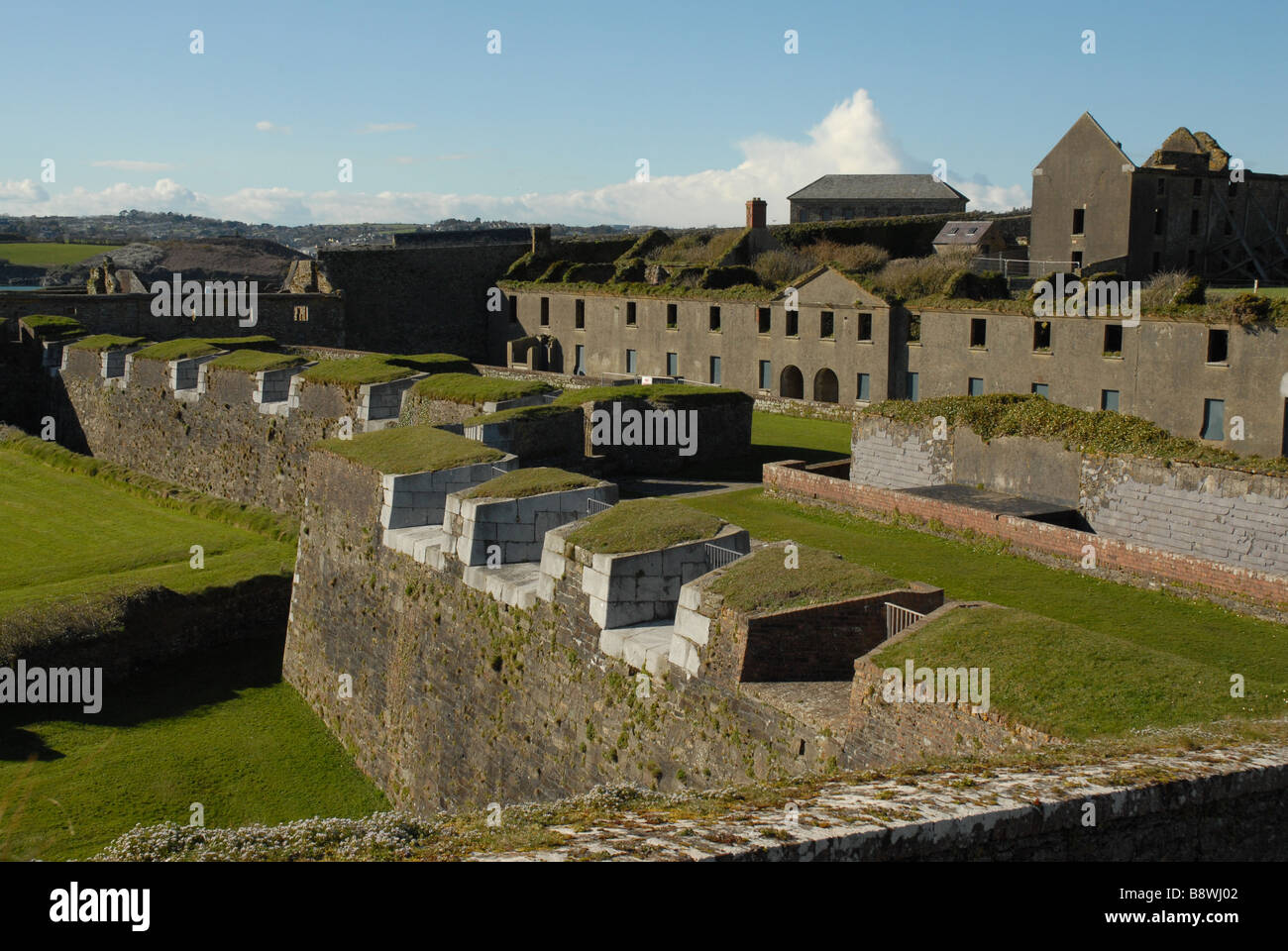 Fortification in CloghaneleeshFortification · 322 yd
 Site of Ballingarry CastleCastle, unclassified · 345 yd
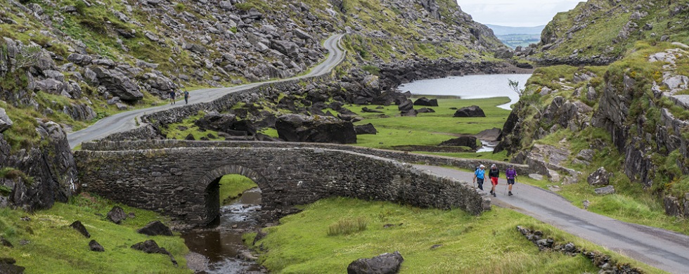 LisnamuckArchaeological place · 780 yd
 Castle Shannon (in ruins)Castle, unclassified · 1.1 mi
 Inshaboy PointHeadland · 1.5 mi
 St. Dahalins Church (in ruins)Church · 1.6 mi
 Maulin MountainMountain / peak · 2.5 mi
 Our Lady's Holy WellSpring · 2.9 mi
 Pierce's IslandIslet · 3.3 mi
 Triskbeg MountainMountain / peak · 3.4 mi
 Clashmealcon CavesCave · 5.3 mi