What is recorded here
In pasture, on a headland defined by rock cliffs which drop to a stone beach and a rocky shoreline. A stream, flowing N in a narrow gully, bisects the headland to E of centre. Toward the N end of the headland, the stream flows through a deeper rock-faced ravine, which has been partly expanded by quarrying on it W side. Another stream borders the W side of the headland, and a modern road, leading to a pier, lies immediately to W of the headland. A disused, grassed-over trackway, bordered by field banks, extends E–W across the S side of the headland. Evidence of the promontory fort is located on the E part of the headland, bordered by the stream gully at W and by the natural cliff at NNW–E. The landward side of the promontory is cut off by two low-profile banks with external fosses. The innermost bank (Wth c. 2m; H 0.4m) is very low, though somewhat higher and more clearly defined at its W end. Intervening between it and the outer bank is a fosse (Wth c. 3m). The outer bank (Wth 3.5-4m; H 0.5m) is broadly slumped. It is bordered externally by the outermost fosse (Wth 3-3.5m). The enclosed area forms a somewhat irregular-shaped oblong measuring c. 25-30m N–S by c. 20-25m E–W.
Compiled by: Jane O'Shaughnessy
Date of upload: 6 March 2014
The monument record does not grant public access. Check the route and ask the landowner before entering private land.
- What survives
- Recorded monument
Places near here
 IndicatedFairy fort / earthen ringfort · 978 yd
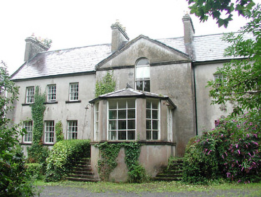 Doonycoycountry house · 1443 yd
 DonaghHeadland · 1497 yd
 Boat HouseRuins · 1503 yd
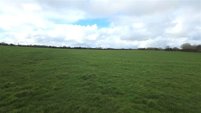 Man-made underground passage in BallyeeskeenMan-made underground passage · 1621 yd
 CastleCastle, unclassified · 1758 yd
 Site of Dunneill CastleCastle, unclassified · 1.4 mi
 Aughris HeadHeadland · 3.1 mi
 Aughris BeachBeach / strand · 3.6 mi
 Dunmoran StrandBeach / strand · 4.4 mi
 Jim Smith MemorialMemorial · 4.7 mi
 Wild Atlantic Way: Easky PierVisitor information · 5.2 mi