What is recorded here
Listed as a fulacht fia in the RMP (1996) on the basis of a Tom Coffey map annotation (SMR file, 1994).
On the exposed limestone shoulder of a ridge, much overgrown with hazel and with damp lower ground c. 20m to the SE and several springs nearby to the E. No visible surface trace was found on inspection in 1999.
Compiled by: Gearóid Conroy and Conn Herriott
Date of upload: 13 June 2023
The monument record does not grant public access. Check the route and ask the landowner before entering private land.
- What survives
- Recorded monument
Places near here
 Burren National ParkVisitor information · 924 yd
 Enclosure in TeeskaghEnclosure · 1052 yd
 Enclosure in Clooncoose, TeeskaghEnclosure · 1530 yd
 Correen R.C. Chapel (in ruins)Church · 1535 yd
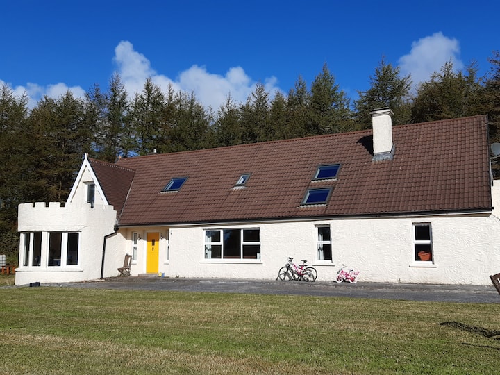
 Father Ted's HouseHeritage attraction · 1757 yd
 Glenquin Housefarm house · 1.0 mi
 Castle (in ruins)Castle, unclassified · 1.4 mi
 Mullagh MoreMountain / peak · 2.0 mi
 Castle in ruinsCastle, tower house · 2.1 mi
 Farbrega RockNamed rock · 2.8 mi
 Fergus River CaveCave · 3.2 mi
 Rock IslandIsland · 3.6 mi