What is recorded here
Fairy fort / earthen ringfort in Poulatar is a fairy fort or earthen ringfort in Poulatar, County Tipperary, Ireland. On a natural rise in undulating pastureland, the roughly circular enclosure measures about 35 metres north-south and 34.5 metres east-west. Its bank stands 0.4 metres high internally and 0.93 metres high externally. The source records stone facing on the bank's outer face in the northwest quadrant and says dense scrub obscured any entrance feature.
On a natural rise in undulating pastureland. Roughly circular area (diam. c. 35m N-S; c. 34.5m E-W) enclosed by a bank (Wth 1.1m crest, 4.4m crest; int. H 0.4m; ext. H 0.93m). In the NW quadrant there is evidence of stone facing on the outer face of the bank. There is no visible entrance feature, however, the bank is very overgrown with scrub.
Compiled by: Jean Farrelly
Date of upload: 29 November 2013
The monument record does not grant public access. Check the route and ask the landowner before entering private land.
- What survives
- Recorded monument
Places near here
 Font in Raheen (ballybacon Par.)Font · 531 yd
 Font (present location) in Garryduff (ballybacon Par.)Font (present location) · 716 yd
 Goats Bridgebridge · 1561 yd
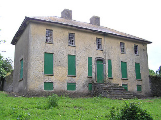 Lacken Househouse · 1.1 mi
 Site of Clocully CastleCastle, unclassified · 1.4 mi
 Bawn in FrehansBawn · 1.6 mi
 Kildanogue wildfowl sanctuary and nature reserveNature reserve · 1.8 mi
 Roche's HillMountain / peak · 2.7 mi
 Woodcock HillMountain / peak · 2.9 mi
 The VeeViewpoint · 3.3 mi
 European long distance path E8 - part IrelandWalking route · 3.3 mi
 Grubb’s GraveMemorial · 3.4 mi