What is recorded here
Indicated is a submerged crannog on the north shore of Dromore lake in County Clare, Ireland. Earth, rubble and kerbstones still mark its edges beneath the water, while Portlecka Castle rose above the mound until only fragments of its south wall remained. The island has joined the mainland, yet the lake still holds the shape of a place people built, defended and forgot.
On the N shore of Dromore lake. Hachured on the 1920 OS 6-inch map. Described by Ua Cróinín and Breen (1996) as a mound of earth and rubble about 3m high on which Portlecka Castle (CL025-075002-) was built. The cairn or mound (40m E-W; 27m N-S; H 2-2.5m over the water level) has traces of kerbstones around the base, just above the water level and may have been a crannog. Only portion of the S wall of the castle remains. The island is now attached to the mainland. A small harbour to the S was built in similar cairn material.
Compiled by: Mary Tunney
Date of upload: 1 December 2025
The monument record does not grant public access. Check the route and ask the landowner before entering private land.
- What survives
- Recorded monument
Places near here
 Portlecka Castle (in Ruins)Castle, tower house · 14 yd
 Enclosure in BallyharraghanEnclosure · 476 yd
 Enclosure in Ross (inchiquin By.)Enclosure · 492 yd
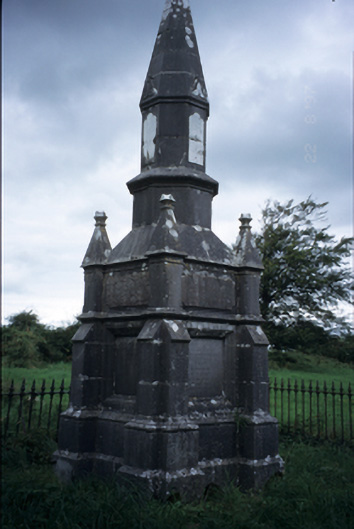 Kelly Mausoleummausoleum · 806 yd
 Church (in ruins)Church · 1115 yd
 Dromore WoodWood · 1344 yd
 Dromore CastleCastle · 1639 yd
 Ballygriffy WoodWood · 1.2 mi
 Battle of TullyodeaBattlefield · 1.6 mi
 Mulkere MemorialMemorial · 3.8 mi
 Rock IslandIsland · 4.7 mi
 Inchiquin IslandIslet · 4.8 mi