
What is recorded here
In a hollow on a slight N-facing slope in an area reverting to scrub. Hachured as a rath on the 1840 OS 6-inch map and as a stone wall surrounding a hollow on the 1920 Cassini edition with the townland boundary curving to respect the feature. Listed as ‘Enclosure’ in the SMR (1992) and the RMP (1996). On inspection in 1999 a natural circular hollow (diam. 33m) was noted defined by natural scarp (Wth 2m; H 0.8) with a berm (Wth 1.6m) inside the wall at N. There were no definite remains of a cashel although it was noted that a cashel (CL025-159----) 340m to the W had been similarly marked on the 1920 map.
Compiled by: Mary Tunney
Date of upload: 1 December 2025
The monument record does not grant public access. Check the route and ask the landowner before entering private land.
- What survives
- Recorded monument
Places near here
 Enclosure in BallyharraghanEnclosure · 161 yd
 Portlecka Castle (in Ruins)Castle, tower house · 481 yd
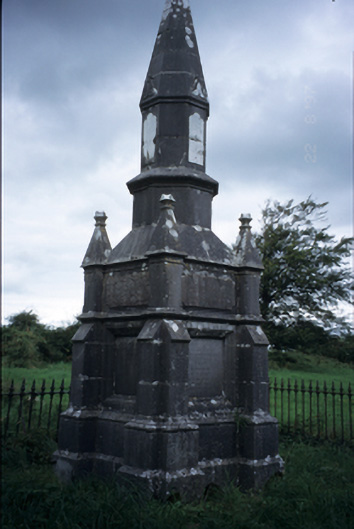 Kelly Mausoleummausoleum · 1291 yd
 Dromore WoodWood · 1469 yd
 Church (in ruins)Church · 1577 yd
 CastleCastle, ringwork · 1636 yd
 LisduffFairy fort / stone ringfort · 1.0 mi
 Ballygriffy WoodWood · 1.0 mi
 Battle of TullyodeaBattlefield · 1.8 mi
 Mulkere MemorialMemorial · 3.9 mi
 Rock IslandIsland · 4.8 mi
 Ennis AbbeyMuseum · 4.8 mi
Other information
Photo: Credit not shown in the picture search · Rights wording not checked; contact us if this picture should be removed