
What is recorded here
Toberboy was a holy well in County Kilkenny, Ireland, recorded near Templeboy church before the site fell from later maps. It stood in the SW angle of rough pasture, close enough for worship and daily life to share the same soil. The loss of its name from later surveys does not erase the water, the church or the people who relied on both.
In the SW angle of a field of rough pasture. Templeboy church (KK025-027001-) was located immediately S, in the N part of the adjacent field (as suggested on the 1st (1839) ed. OS 6-inch map or c. 160m to the ESE (as indicated on the 1900 revision and 25-inch map). Indicated as 'Toberboy' on the 1st (1839) ed. OS 6-inch map and a 'Toberboy (Site of)' on the 1900 revision.
Compiled by: Jean Farrelly
Date of upload: 1 March 2022
Toberboy is associated with Saint Boy, a lesser-known early Irish saint, and is traditionally linked to healing rituals, particularly for ailments of the eyes and general well-being. The well's name, derived from "Tobar Boy," reflects its connection to the saint, and such sites were often centers of local pilgrimage and devotion in pre-modern times.
The monument record does not grant public access. Check the route and ask the landowner before entering private land.
- What survives
- Recorded monument
Places near here
 Site of Templeboy ChurchChurch · 168 yd
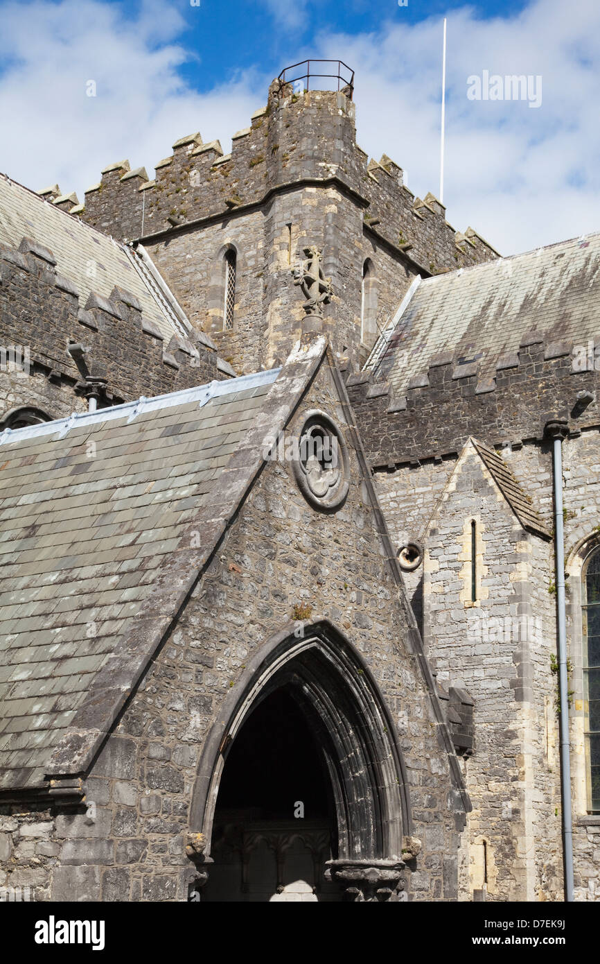 Templeboy Church (site of)Archaeological place · 178 yd
 Catholic Church of Our Lady of Lourdeschurch/chapel · 1041 yd
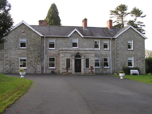 Mount Loftuscountry house · 1054 yd
 Tinnakeenly BogForest · 1104 yd
 Drumroe Castle (ruins)Castle · 1220 yd
 The bogForest · 1302 yd
 CastleCastle, motte · 1.7 mi
 The PoundMemorial · 3.7 mi
 Keating's WellSpring · 3.8 mi
 Assembly RoomsMemorial · 3.9 mi
 Tullaherin Church and Round TowerVisitor information · 6.4 mi
Other information
Photo: Credit not shown in the picture search · Rights wording not checked; contact us if this picture should be removed