
What is recorded here
Templeboy Church vanished into a small Kilkenny field called Cillín, leaving behind only a holy well and a possible children's burial ground. The church may have stood where maps still argue, slightly shifted between drawings made decades apart. What is certain is that the place kept its name, its well and its shadow long after its walls disappeared.
The precise location of this church is unclear. On the 1st (1839) ed. OS 6-inch map to the left/W of the words, 'Site of Templeboy Church', a rectangular area (dims. c. 50m E-W; c. 15m N-S) is indicated. The lower/S and E portion of which is shown by a dotted line, indicating a general area, rather than a specific location, immediately S and E of a field boundary. A holy well, 'Toberboy' is indicated 10m to the N, in the adjoining field. On the 1900 revision and 25-inch OS map the church site is indicated with a cross in a small field (dims. c. 22m NW-SE; c. 13m NE-SW) to the W of Gothic script on the 1st ed. map. This is shown as a slightly bigger field, or haggard, on the 1st ed. map, immediately S of a farmyard. According to O'Kelly (1969, 88) the church, 'is known locally as Teámpall beag and the site is in the Cillín field'.
The small field indicated as the church site on the 1900 revision has been removed, though the SW field boundary and the S portion of the NW boundary have been retained. There is no trace of the church at ground level at either location. A possible children's burial ground (KK025-027003-) has been located to the area indicated on the 1st ed. OS 6-inch map.
Until more precise information is available, the church has been located to the small field indicated on the 1900 revision of the OS 6-inch map.
Compiled by: Jean Farrelly
Date of upload: 1 March 2022
This remains an important historical record, but the official description says the monument is no longer visible or has been destroyed. The monument record does not grant public access. Check the route and ask the landowner before entering private land.
- What survives
- No visible remains or recorded as destroyed
Places near here
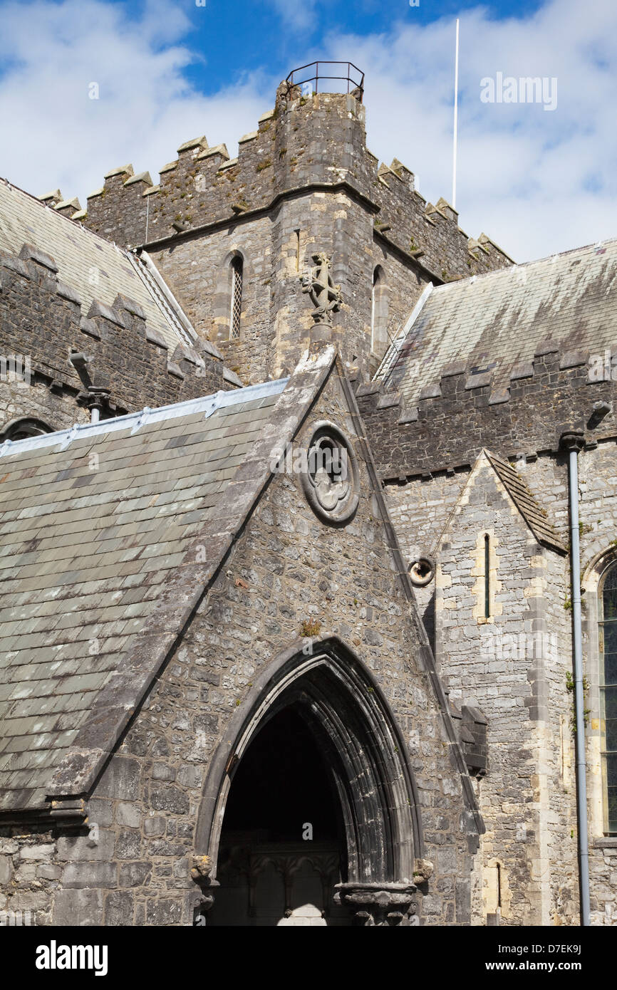 Templeboy Church (site of)Archaeological place · 12 yd
 ToberboyHoly well · 168 yd
 Tinnakeenly BogForest · 1034 yd
 Catholic Church of Our Lady of Lourdeschurch/chapel · 1160 yd
 The bogForest · 1165 yd
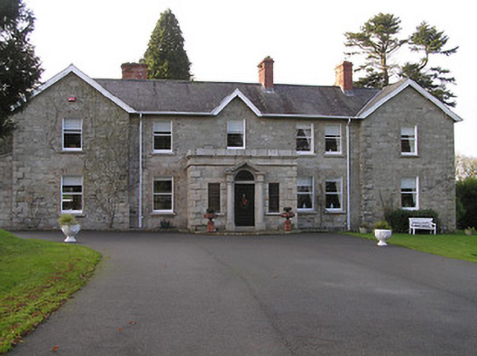 Mount Loftuscountry house · 1171 yd
 Drumroe Castle (ruins)Castle · 1340 yd
 CastleCastle, motte · 1.8 mi
 The PoundMemorial · 3.7 mi
 Keating's WellSpring · 3.8 mi
 Assembly RoomsMemorial · 3.8 mi
 Tullaherin Church and Round TowerVisitor information · 6.5 mi
Other information
Photo: Credit not shown in the picture search · Rights wording not checked; contact us if this picture should be removed