What is recorded here
This site is located in the industrial peatlands of Castletown Bog. It was first identified in the Reassessment Peatland Survey in 2013, located at the S extent of the narrowest part of the bog, and was classified as a Class 3 Road (Whitaker 2014). On excavation in 2016 (licence 15E0189), it was revealed that the site consisted of multiple associated brushwood and roundwood platforms.
In the second cutting (OF-CTN003b), located 15m north of Cutting 1 and measuring 6x4m, excavation revealed two associated but separate structures. The one concerned here consisted of several NW-SE orientated roundwoods and brushwoods, located to the NE. Some worked ends were noted, all with flat metal-cut toolmarks.
Compiled by: Jane Whitaker/Femke Vleeshouwer
Date of upload: 8th April 2020
The monument record does not grant public access. Check the route and ask the landowner before entering private land.
- What survives
- Recorded monument
Places near here
 PlatformPlatform, peatland · 1 yd
 StructureStructure, peatland · 259 yd
 RoadRoad, class 1 togher · 533 yd
 Castle ArmstrongHouse, fortified house · 980 yd
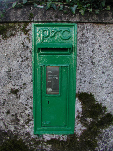 post boxpost box · 1621 yd
 Lemanaghan CastleCastle, tower house · 1.3 mi
 European ashEuropean ash · 1.3 mi
 Inchaloon IslandIslet · 2.8 mi
 Cocta HillMountain / peak · 3.3 mi
 Clara Bog BoardwalkHeritage attraction · 4.4 mi
 Saint Reaghan's WellSpring · 4.4 mi
 Roughan HillMountain / peak · 4.5 mi