What is recorded here
A band (exposed Wth 2.8m) of spaced brushwood was located towards the top of a WSW drain face. Thirteen pieces of brushwood (diam. 0.02-0.05m) were present, along with one roundwood (diam. 0.08m). There was no apparent pattern or structure. Most of the brushwood was orientated NW-SE; two elements extended vertically into the drain face. Some toolmarks were present. The evidence suggested that this was likely to be the remains of a platform. (Dunne 1999, 52, 99BG0013A)
Compiled by: Paul Walsh
Date of upload: 26 August 2011
The monument record does not grant public access. Check the route and ask the landowner before entering private land.
- What survives
- Recorded monument
Places near here
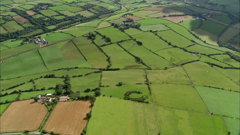 PlatformPlatform, peatland · 13 yd
 StructureStructure, peatland · 96 yd
 RoadRoad, class 2 togher · 574 yd
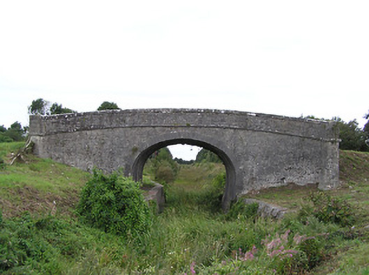 Begnagh Bridgebridge · 1136 yd
 CastleCastle, tower house · 1.6 mi
 Graveyard in Curry (ardagh By., Coolamber Ed)Graveyard · 2.8 mi
 First World War MemorialMemorial · 3.9 mi
 Bawn in AbbeycartronBawn · 3.9 mi
 Saint Mel's CathedralCathedral · 4.0 mi
 Commons North WalkVisitor information · 4.9 mi
 Wild birdsVisitor information · 5.1 mi
 White Sand WoodWood · 5.4 mi