What is recorded here
In level area of fallow arable land. Level, oval area (dims. 58m N-S; 18m E-W) defined by gentle scarp (Wth 4-5m on E & W sides; Wth 10m on N & S sides; H 1.5m). Area of briars concentrated around centre of mound and to S obscure loose rock which may be masonry from castle. Named as 'Site of Black Castle' on 1840 edition OS 6-inch map.
Compiled by: Jean Farrelly
Date of upload: 26 August 2011
The monument record does not grant public access. Check the route and ask the landowner before entering private land.
- What survives
- Recorded monument
Places near here
 Site of Black CastleCastle, unclassified · 5 yd
 Enclosure in CastleblakeEnclosure · 1191 yd
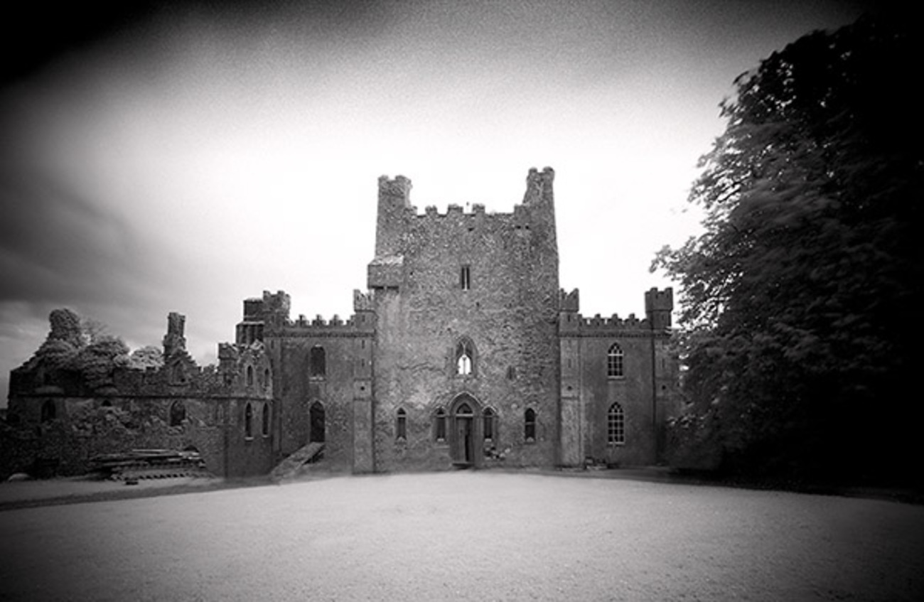 Castle Blake in ruinsCastle, tower house · 1277 yd
 Enclosure in BallydoyleEnclosure · 1376 yd
 Ballinattin Househouse · 1.1 mi
 Mora Church (in ruins)Church · 1.6 mi
 Cashel Folk MusuemMuseum · 5.8 mi
 Black mulberryBlack mulberry · 5.8 mi
 Caher AbbeyHeritage attraction · 6.5 mi
 Siege of Cahir Castlesiege · 6.6 mi
 European YewEuropean Yew · 7.5 mi
 Slieveanard NE TopMountain / peak · 8.3 mi