What is recorded here
This record was listed in both the SMR (1989) and RMP (1995) as 'Potential site - aerial photo'. The source of this record is a pencil note 'Pit Alignment' on the 'Air Photograph Sheet' on the SMR file which includes a copy of an OSi aerial vertical survey photo (No OS 1/3309-10). The 'pits' are visible as a very faint row (aligned NNW-SSE) of circular and oblong marks running along the top of a low rise. There is a single circle to the N, with 3 shallow-looking pit-like depressions next, then a field fence (aligned WSW-ENE) and finally two apparently conjoined circles. That the circles might represent the residual marks made by animal feeders cannot be discounted. This area has been built over by farm out-buildings and it would appear that the features described above probably have been covered over or, more than likely, removed.
Compiled by: Paul Walsh
Date of upload: 23 January 2014
The monument record does not grant public access. Check the route and ask the landowner before entering private land.
- What survives
- Recorded monument
Places near here
 Carrowmore Megalithic CemeteryHeritage attraction · 230 yd
 Carrowmore 58Archaeological place · 267 yd
 Carrowmore 19Archaeological place · 326 yd
 Carrowmore Visitors CentreVisitor information · 407 yd
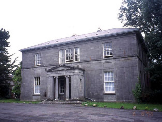 Kevinsfort Househouse · 1.4 mi
 Kiln in BreeogeKiln · 1.5 mi
 St. John's CathedralMemorial · 2.0 mi
 Discover IrelandVisitor information · 2.1 mi
 CastleCastle, Anglo-Norman masonry castle · 2.1 mi
 Famine MemorialMonument · 2.2 mi
 Sligo AbbeyMuseum · 2.2 mi
 CarrigeenfaddaIslet · 2.3 mi