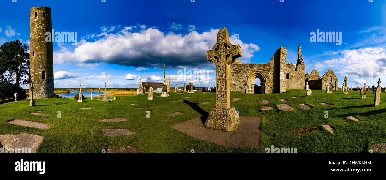
What is recorded here
Situated on a prominent, rocky knoll, in undulating pasture. Depicted on the 1837 ed. OS 6-inch map as a large circular-shaped earthwork (approx. diam. 57m) and shown as a partial enclosure on the revised editions of the OS 6-inch maps. Monument described in 1971 as the remains of a very large circular-shaped area enclosed by a bank visible from NNE-E-S-SW and reduced to a scarp elsewhere with vague traces of an external fosse. The interior rises gently from the perimeter towards the centre and is largely obscured by dense vegetation. The ringfort is bisected by a post-1700 field boundary running N-S. Man-made underground passage (WM024-163001-) is located in the SW quadrant.
Compiled by Alison McQueen, Vera Rahilly and Caimin O’Brien.
Date of upload: 28 August 2019
The monument record does not grant public access. Check the route and ask the landowner before entering private land.
- What survives
- Recorded monument
Places near here
 Hut site in Carn (rathconrath By.)Hut site · 633 yd
 Stremmingstown CastleCastle · 657 yd
 Partially outlinedEnclosure · 858 yd
 Carn CastleCastle · 1121 yd
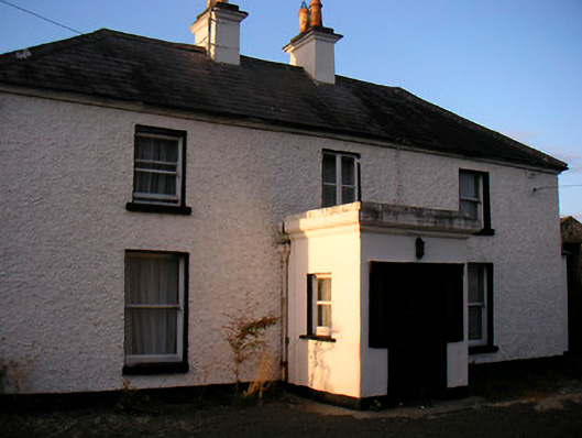 Killaroo Househouse · 1401 yd
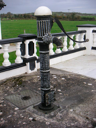 water pumpwater pump · 1426 yd
 Sam's ParkForest · 1.8 mi
 European ashEuropean ash · 1.8 mi
 Hill of UisneachMountain / peak · 1.9 mi
 KnockastiaMountain / peak · 3.5 mi
 Charles BianconiMemorial · 8.2 mi
 The Bob Traynor GalleryGallery · 8.3 mi
Other information
Photo: Credit not shown in the picture search · Rights wording not checked; contact us if this picture should be removed