What is recorded here
Fairy fort / ringfort in Parsonstown is a fairy fort or ringfort in Parsonstown, County Westmeath, Ireland. The site sits on a rise in undulating grassland where the 1837 Ordnance Survey Fair Plan map depicts a small oval shaped earthwork annotated as a fort. A revised 1875 edition of the Ordnance Survey 6-inch map indicates the site of the fort, suggesting the monument was levelled between these two dates. The inventory notes that no surface remains are visible of the levelled monument.
Situated on a rise in undulating grassland. Depicted on the 1837 OS Fair Plan map as a small oval shaped earthwork annotated as ‘fort’. Indicated as 'Site of Fort' on revised 1875 ed. OS 6-inch map which suggests monument was levelled between these two dates. No surface remains visible of levelled monument.
Compiled by: Frank Coyne and Caimin O'Brien
Date of upload: 6 March 2018
The monument record does not grant public access. Check the route and ask the landowner before entering private land.
- What survives
- Recorded monument
Places near here
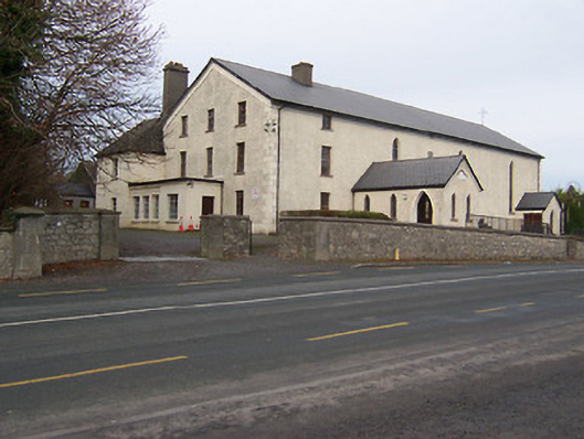 Catholic Church of the Assumptionchurch/chapel · 462 yd
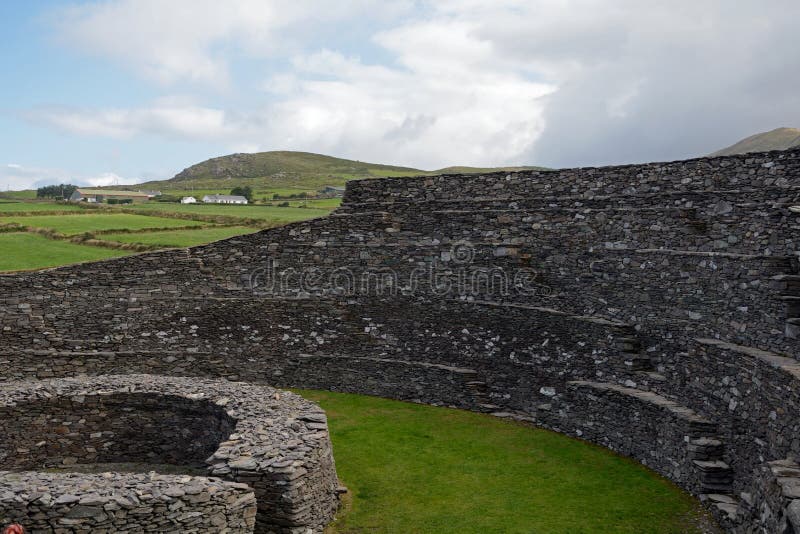 Ancient Ring FortRuins · 658 yd
 Partially hachuredFairy fort / earthen ringfort · 922 yd
 Hachured, Bells HillFairy fort / earthen ringfort · 1.0 mi
 Taghmon CastleCastle, tower house · 1.4 mi
 Long PlantingForest · 2.0 mi
 IndicatedCastle, tower house · 2.3 mi
 Scragh Bog Nature ReserveNature reserve · 2.7 mi
 Church IslandIsland · 3.4 mi
 Saint Brigid's WellSpring · 3.6 mi
 United Nations War MemorialMemorial · 4.2 mi
 Srudarra IslandIslet · 4.2 mi