What is recorded here
On an undulating shelf towards the bottom of a S-facing slope. Circular grass-covered area (int. diam. 65.5m E-W; 62m N-S) defined by the grass-covered and intermittently visible footing of a stone wall (Wth 2.5-3m) NNE-S-NNW, which is replaced by a scarp down to the interior (H 0.3-0.8m) NNE-ENE and ESE-SE. There is no visible entrance.
Compiled by: Michael Moore
Date of upload: 24 August 2010
The monument record does not grant public access. Check the route and ask the landowner before entering private land.
- What survives
- Recorded monument
Places near here
 Penitential station in Stonepark (frenchpark By., Fairymount Ed)Penitential station · 958 yd
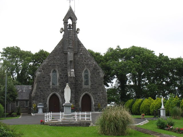 Catholic Church of the Sacred Heartchurch/chapel · 1006 yd
 Fairymount HillMountain / peak · 1.0 mi
 Kilcooley Church (Site of)Church · 1.1 mi
 Ecclesiastical enclosure in CurreentorpanEcclesiastical enclosure · 1.1 mi
 Druminagh WoodForest · 1.4 mi
 TowerCastle, tower house · 3.2 mi
 Clonalis HouseMuseum · 3.5 mi
 Castlereagh HouseCastle, unclassified · 4.0 mi
 Silver IslandIslet · 4.5 mi
 Workhouse MemorialMemorial · 4.5 mi
 Square WoodForest · 5.3 mi