
What is recorded here
Bridgets Well is a holy well in Pallas (Donohill parish), County Tipperary, Ireland. The 1904 map named the place, while the 2011 account recorded that the spring was not visible at ground level but drained into a channel running east-northeast to west-southwest before turning northwest. Local information supplied with that account described the area as always wet.
In improved pasture, near the base of a NW-facing slope. Named 'Bridget's Well' on 1840 and 1904 ed. OS 6-inch map. Though not visible at ground level, this appears to be a natural spring well which abuts the outside angle of a field boundary. The spring drains into a linear channel (long-axis ENE-WSW) which extends for a short distance to the WSW before turning at an obtuse angle to the NW. According to local information, this was always a wet area.
Compiled by: Jean Farrelly
Date of upload: 26 August 2011
Linked to St. Brigid, the well is associated with traditional healing practices and is believed to have curative properties, particularly for women's ailments. The site's long-standing veneration is reflected in its appearance on early Ordnance Survey maps and its possible connection to pre-Christian water worship traditions.
The monument record does not grant public access. Check the route and ask the landowner before entering private land.
- What survives
- Recorded monument
Places near here
 Enclosure in Pallas (donohill Par.)Enclosure · 387 yd
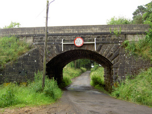 Ballyrobin Bridgebridge · 779 yd
 Enclosure in Alleen (hogan) (donohill Par.),lisheenfrankagh,pallas (donohill Par.)Enclosure · 1107 yd
 Church (in ruins)Church · 1311 yd
 Donohill MoatCastle, motte and bailey · 1472 yd
 Shanbally fortCastle, ringwork and bailey · 1.5 mi
 Soloheadbeg Ambushambush · 2.0 mi
 Maudemount BogWood · 2.1 mi
 Soloheadbeg Ambush SiteMemorial · 2.5 mi
 Dundrum Woods (Marl Bog)Forest · 2.7 mi
 I.R.A. 3rd. Tipperary Brigade MemorialMemorial · 4.2 mi
 It's a long way to TippereryHeritage attraction · 4.6 mi
Other information
Photo: Credit not shown in the picture search · Rights wording not checked; contact us if this picture should be removed