What is recorded here
Fairy fort / earthen ringfort in Paddinstown Lower is a fairy fort or earthen ringfort in Paddinstown Lower, County Westmeath, Ireland. The sub-circular earthwork, measuring approximately 28 metres in its north-south axis, sits on a slight rise in gently undulating grassland near wet, rushy land. It is enclosed by an earth and stone bank with dry stone external facing in places, alongside a slight external fosse that appears to have been steepened in certain areas. Two other ringforts lie nearby, one 160 metres to the north and another 340 metres to the west.
Situated on a slight rise in gently undulating grassland, with some wet, rushy land in the vicinity. Ringfort (WM010-025----) 160m to N. Ringfort (WM010-024----) 340m to W. A sub-circular shaped raised area (approx. diam. 28m N-S) enclosed by an earth & stone bank and a slight external fosse. The bank has several disturbance gaps, and has some areas of dry stone external facing. The fosse also appears to have been steepened in places. The interior of the site rises slightly towards the centre.
Compiled by: Frank Coyne and Caimin O'Brien
Date of upload: 9 June 2017
The monument record does not grant public access. Check the route and ask the landowner before entering private land.
- What survives
- Recorded monument
Places near here
 OutlinedFairy fort / earthen ringfort · 199 yd
 Partially hachuredFairy fort / earthen ringfort · 576 yd
 Site of CastleCastle, unclassified · 620 yd
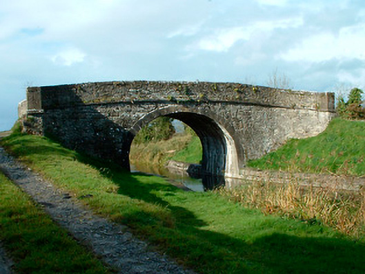 bridgebridge · 1414 yd
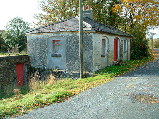 38th Locklock keeper's house · 1429 yd
 Bawn in EmperBawn · 2.6 mi
 Sessile OakSessile Oak · 2.8 mi
 Common LimeCommon Lime · 2.9 mi
 Abbeyshrule AbbeyRuins · 2.9 mi
 Goldsmith Birthplace, PallasVisitor information · 4.8 mi
 Craft WorkshopHeritage attraction · 4.8 mi
 Guest ServicesVisitor information · 4.9 mi