
What is recorded here
Situated on the W face of a small natural ridge in slightly undulating grassland, with extensive views in all directions. The field fence which forms the townland boundary with Paddinstown Upper lies 50m to S. Depicted as a circular shaped enclosure on the 1837 ed. OS 6-inch map (approx. diam 36m E-W), the N quadrant of the site has been reduced to a scarp in the past (post-1837). An earthen bank and slight external fosse are visible curving from NE-S-W. The interior is level and featureless. Traces of cultivation ridges are visible running NE-SW outside the site to the NW.
Compiled by: Frank Coyne and Caimin O'Brien
Date of upload: 13 February 2018
A local fairy fort (ringfort/rath); wider significance not recorded.
The monument record does not grant public access. Check the route and ask the landowner before entering private land.
- What survives
- Recorded monument
Places near here
 Site of CastleCastle, unclassified · 714 yd
 OutlinedFairy fort / earthen ringfort · 743 yd
 Church (in Ruins)Church · 923 yd
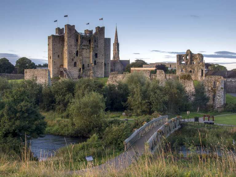 IndicatedFairy fort / earthen ringfort · 998 yd
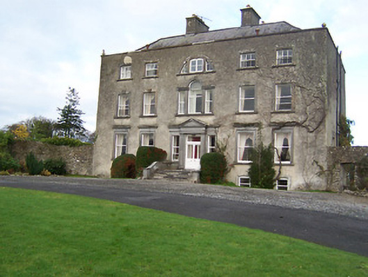 Mearscourt Housecountry house · 1728 yd
 Sessile OakSessile Oak · 2.6 mi
 Common LimeCommon Lime · 2.8 mi
 Abbeyshrule AbbeyRuins · 2.9 mi
 Bawn in EmperBawn · 2.9 mi
 Goldsmith Birthplace, PallasVisitor information · 4.6 mi
 Craft WorkshopHeritage attraction · 4.6 mi
 Guest ServicesVisitor information · 4.7 mi
Other information
Photo: Credit not shown in the picture search · Rights wording not checked; contact us if this picture should be removed