What is recorded here
Houndree is a rare name for a common kind of sacred water, which suggests the well may have belonged to a family or local line rather than a wide region. That possibility gives the lost place more life, because ordinary people may have visited it, prayed at it and passed its name down before the name itself disappeared. The facts still record a holy well in County Limerick, but they do not explain what Houndree meant or why that name was attached to the water.
Ó Danachair (1955, 217) recorded the following details about this holy well; 'Toberahoundree on 1928 edition of 6-inch map. The well is now defaced by cattle trampling, and no tradition survives, except a very vague one that it was "some sort of blessed well".
Compiled by: Caimin O'Brien
Date of upload: 02 July 2019
The monument record does not grant public access. Check the route and ask the landowner before entering private land.
- What survives
- Recorded monument
Places near here
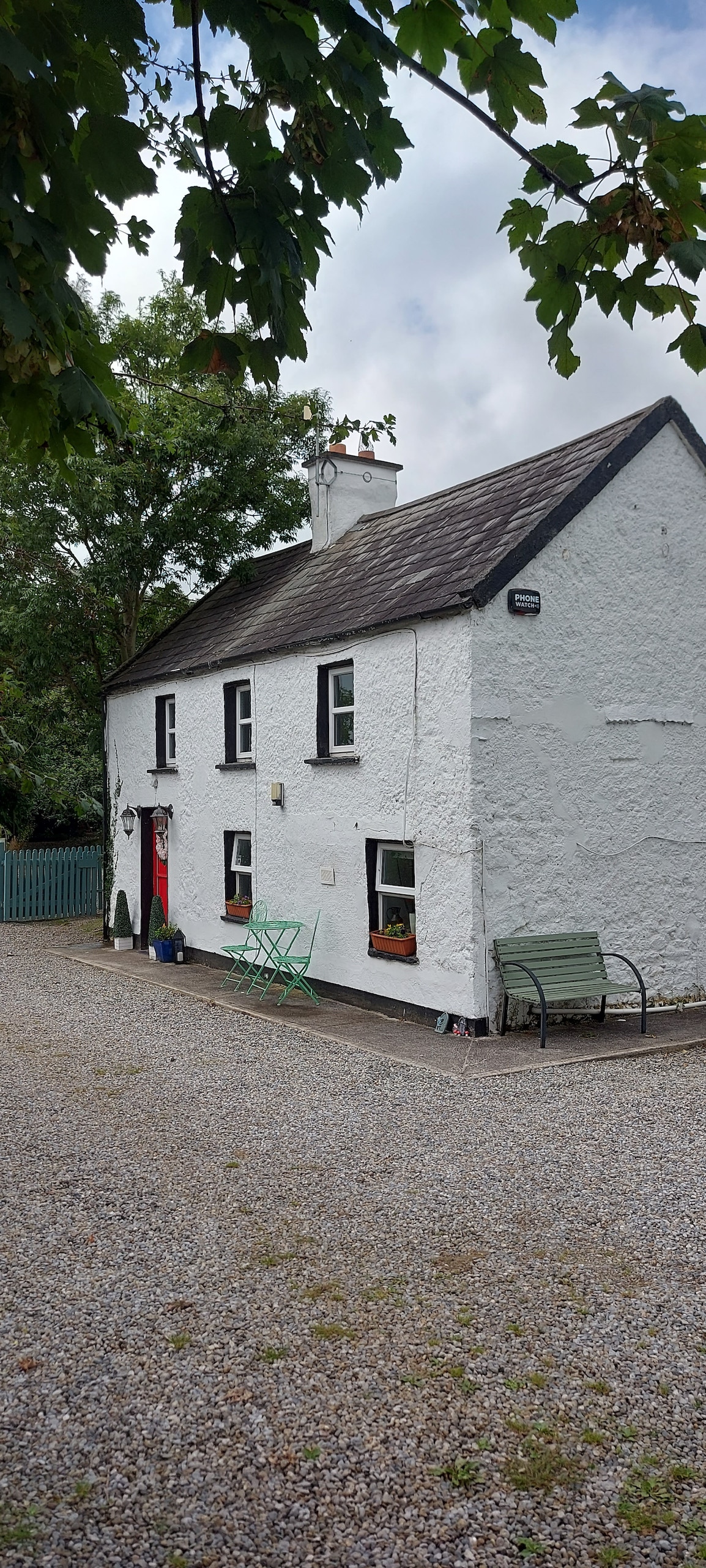 Enclosure in CastlefarmEnclosure · 608 yd
 BarrowBarrow, unclassified · 626 yd
 Ahnageeragh Bridgebridge · 1118 yd
 CastleCastle, motte · 1254 yd
 Kenmare Castlehouse · 1.0 mi
 CashlanCastle, unclassified · 1.7 mi
 Flat cemetery in Knockainy WestFlat cemetery · 2.1 mi
 Kilteely HillMountain / peak · 2.8 mi
 St. Patrick's WellSpring · 3.3 mi
 St Patrick's WellSpring · 3.4 mi
 Ballinvreena LoopVisitor information · 6.2 mi
 SlievereaghMountain / peak · 6.9 mi