
What is recorded here
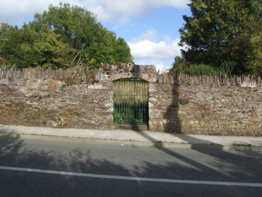
Walled garden, extant 1840, on a square plan with part creeper- or ivy-covered boundary wall to perimeter having overgrown coping. Now disused. Set in grounds originally shared with Oaklands House.
A walled garden surviving as an interesting relic of the Oaklands House estate following the destruction (1957) and subsequent demolition (1958) of the eponymous country house (see 15703401).
This does not grant access. Most recorded buildings are privately owned; view them only from public ground unless the owner allows entry.
Places near here
 Kelly's WoodForest · 223 yd
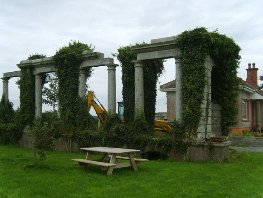 Oaklands Housecountry house · 372 yd
 Brandon WellHoly well · 894 yd
 graveyard/cemeterygraveyard/cemetery · 1054 yd
 Camlin HillMountain / peak · 1183 yd
 Embanked enclosureFairy fort / ringfort · 1570 yd
 Armaghs Castle (in Ruins)Castle, tower house · 1581 yd
 Crutched FriarsMemorial · 1674 yd
 Ros Tapestry ExhibitionGallery · 1.0 mi
 Dunbrody Famine Ship Visitor CentreHeritage attraction · 1.0 mi
 O'NeillMemorial · 1.1 mi
 Partridge HillMountain / peak · 1.8 mi
Other information
Photo: National Inventory of Architectural Heritage · Website use allowed for educational or private purposes with source credit