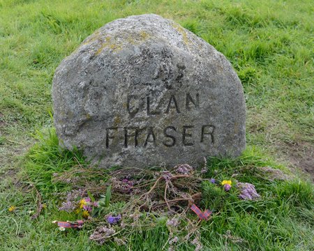
What is recorded here
Grave Yd stands at the west edge of Nohaval, a rectangular field bounded by stone wall and earthen bank where unmarked graves stretch beneath the soil. The parish church leans against its south side, its limestone blocks scattered like broken teeth, while low gravemarkers dot the grass in silent rows. People have buried their dead here since at least 1704, yet most names vanished before they could be carved. What remains is shape and shadow, a place where forgetting becomes the point rather than the failure.
At W end of Nohaval village; rectangular graveyard (60m E-W; 35m N-S) enclosed by stone wall to N, elsewhere by earthen bank. In occasional use; earliest headstone dated 1704 (Coleman 1907-9h); many low uninscribed gravemarkers. Near W end, C of I parish church of Nohoval. Church here in repair in 1615 but described as 'lately repaired' in 1699 (Brady (1863, vol. 1, 224); Lewis (1834, vol. 2, 444) describes it as'small neat edifice, without tower spire or bell'. However, present church of mid- to late-19th century appearance; rectangular structure with attached tower at W end and shallow rectangular chancel at E end, lean-to vestry at E end of S wall. Three windows with pointed arches in both N and S walls, E window on chancle gable. Tower of two storeys with gabled slate roof. Some large dressed limestone blocks lean against S wall of church.
The above description is derived from the published 'Archaeological Inventory of County Cork. Volume 2: East and South Cork' (Dublin: Stationery Office, 1994). In certain instances the entries have been revised and updated in the light of recent research.
Date of upload/revision: 14 January 2009
The monument record does not grant public access. Check the route and ask the landowner before entering private land.
- What survives
- Recorded monument
Places near here
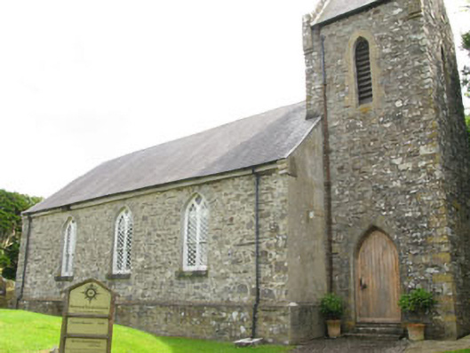 Nohoval Church of Ireland Churchchurch/chapel · 15 yd
 post boxpost box · 34 yd
 IndicatedFairy fort / earthen ringfort · 1342 yd
 Fulacht fia in BallybogeyFulacht fia · 1531 yd
 Nohaval CoveBeach / strand · 1619 yd
 New Foundland Bay viewViewpoint · 1.2 mi
 Creek Newfoundland BsyViewpoint · 1.3 mi
 Barrys Castle (Site of)Castle, unclassified · 1.5 mi
 Kinure Castle (Site of)Castle, unclassified · 1.7 mi
 Sovereign IslandIslet · 3.1 mi
 Rocky BayBeach / strand · 3.2 mi
 Pallastown WoodWood · 3.7 mi
Other information
Photo: Credit not shown in the picture search · Rights wording not checked; contact us if this picture should be removed