,_Mount_Merrion,_Belfast_(1)_-_geograph.org.uk_-_3277304.jpg)
What is recorded here
The official Northern Ireland record identifies this as a Grade B1 listed building. Recorded construction date: 1960 - 1979. Current recorded use: Church.
The official record and map point do not grant access. Many historic buildings are privately owned; view them only from public ground unless the owner allows entry.
Places near here
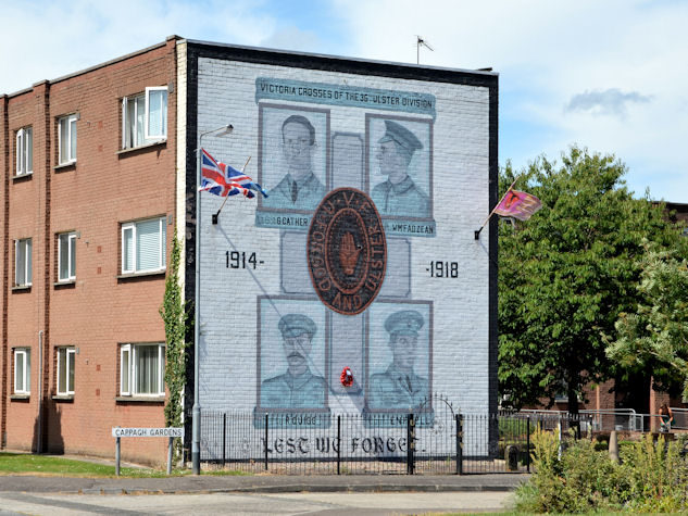 Victoria Crosses of the 36th Ulster DivisionMemorial · 362 yd
_-_geograph.org.uk_-_1575221.jpg?width=1280) Ballynafeigh Methodist ChurchChurch · 1031 yd
Ballynafeigh Methodist ChurchChurch · 1031 yd_-_geograph.org.uk_-_2838954.jpg?width=1280) Martyrs Memorial Free Presbyterian ChurchChurch · 1038 yd
Martyrs Memorial Free Presbyterian ChurchChurch · 1038 yd Lisnabreeney WaterfallWaterfall · 1512 yd
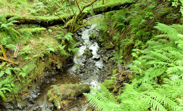 Cregagh GlenWood · 1599 yd
 Rose & Crown Bar bombingbomb attack · 1728 yd
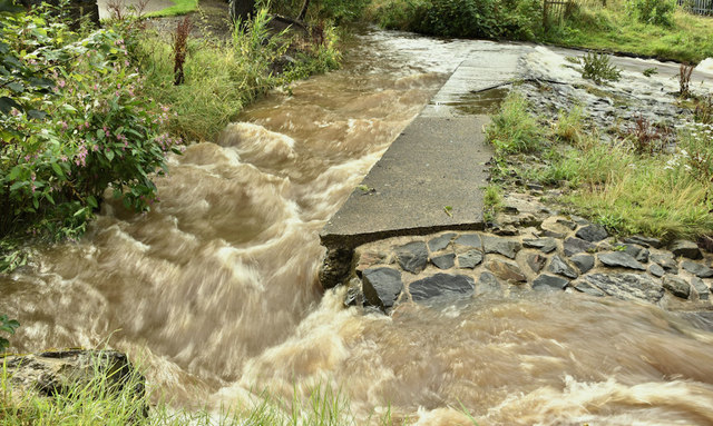 The HollowWood · 1.1 mi
 Millennium MilepostVisitor information · 1.2 mi
 Conn O'Neill's Castle SiteFort · 1.2 mi
 Palm HouseHeritage attraction · 1.3 mi
 Queen's University BelfastNationally known place · 1.3 mi
Other information
Photo: Albert Bridge · CC BY-SA 2.0