What is recorded here
The official Northern Ireland record identifies this as ENCLOSURE - landscape feature. Recorded period: UNCERTAIN. The official map point was placed at the centre of the recorded archaeological site from the source map reference.
A local fairy fort (ringfort/rath); wider significance not recorded.
The monument record does not grant public access. Check the route and ask the landowner before entering private land.
- What survives
- Recorded monument
Places near here
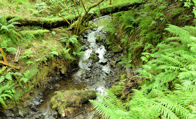 Cregagh GlenWood · 489 yd
 Lisnabreeney WaterfallWaterfall · 560 yd
 ENCLOSURE (RATH?) in BallymaconaghyENCLOSURE (RATH?) · 1112 yd
_parish_church,_Belfast_(August_2014)_-_geograph.org.uk_-_4107390.jpg?width=1280) Knockbreda Parish ChurchChurch · 1211 yd
Knockbreda Parish ChurchChurch · 1211 yd ENCLOSURE in BallymaconaghyENCLOSURE · 1211 yd
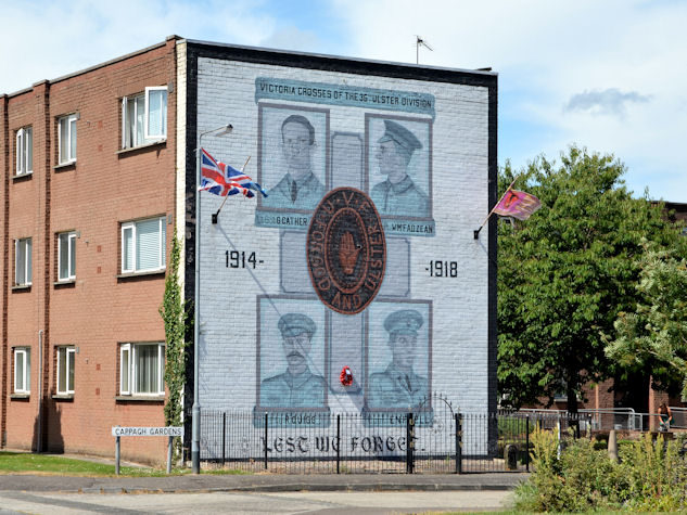 Victoria Crosses of the 36th Ulster DivisionMemorial · 1466 yd
,_St_John's_Presbyterian_church,_Newtownbreda,_Belfast_(July_2017)_-_geograph.org.uk_-_5466032.jpg?width=1280) St. John's Presbyterian ChurchChurch · 1575 yd
St. John's Presbyterian ChurchChurch · 1575 yd Conn O'Neill's Castle SiteFort · 1718 yd
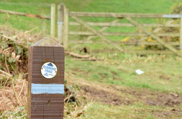 Lagan TrailWalking route · 1.4 mi
 Highway to Health, CastlereaghWalking route · 1.5 mi
 Belvoir Park ForestForest · 1.5 mi
 FORTIFIED HOUSE & ?BAWN (unlocated): MOSES HILL'S HOUSE in Malone LowerFORTIFIED HOUSE & ?BAWN (unlocated): MOSES HILL'S HOUSE · 1.8 mi
Other information
Photo: Credit not shown in the picture search · Rights wording not checked; contact us if this picture should be removed