
What is recorded here
The official Northern Ireland record identifies this as a Grade B listed building. Current recorded use: Church.
The official record and map point do not grant access. Many historic buildings are privately owned; view them only from public ground unless the owner allows entry.
Places near here
 Toners WoodWood · 339 yd
 Carry BridgeBridge · 640 yd
 Badge WoodWood · 1294 yd
 Fort HillArchaeological place · 1420 yd
 ENCLOSURE: FORT HILL in BelleisleENCLOSURE: FORT HILL · 1511 yd
 Belle IsleIsland · 1.3 mi
 Inishbeg HillMountain / peak · 1.4 mi
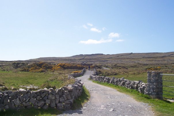 InishmoreIsland · 1.9 mi
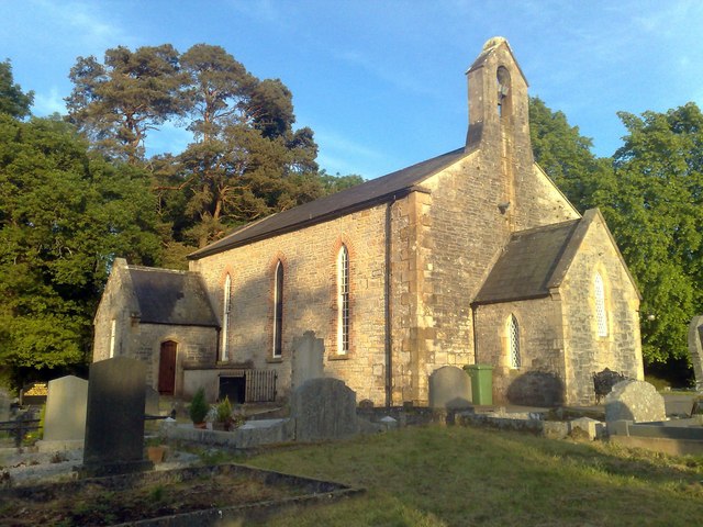 Derrybrusk Church (In ruins)Ruins · 1.9 mi
 Carrowhony Pet FarmHeritage attraction · 3.0 mi
 Battle of the Ford of the Biscuitsbattle · 4.0 mi
 Sheelin Lace MuseumMuseum · 4.2 mi
Other information
Photo: Dean Molyneaux · CC BY-SA 2.0