What is recorded here
Thirty-seven metres of packed earth and stone circle a hidden chamber on the Galway rise, waiting for footsteps that stopped coming centuries ago. Two banks frame a narrow ditch where shadow pools at noon, while a gap at the south-east edge invites entry into the dark. The fair condition preserves more than most ruins manage, suggesting hands built it proudly and left it proud. Trees have since taken the inner bank and ditch, softening the angle of human intention without erasing it.
On a rise in undulating grassland. This circular rath (diam. 37m), in fair condition, is defined by
two banks of earth and stone and an intervening fosse. The inner bank (Wth at top 1.4m; overall Wth 5.9m; int. H 0.6m; ext. H 1.1m ) is visible all round. There is a possible entrance gap at SSE. The fosse (Wth 1.5m) and outer bank (Wth at top 1.5m; overall Wth 3.4m; int. H 0.4m; ext. H 0.4m) survive from SSE through W to N. Tree are growing on the inner bank and in the fosse.
Compiled by: Galway Archaeological Survey, UCG
Date of upload: 14 December 2017
The monument record does not grant public access. Check the route and ask the landowner before entering private land.
- What survives
- Recorded monument
Places near here
 MoatCastle, motte and bailey · 764 yd
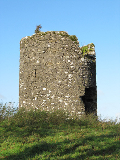 Eyrevillemill (wind) · 934 yd
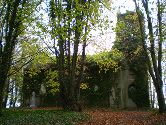 Saint Thomas's Church (Kiltormer)church/chapel · 1267 yd
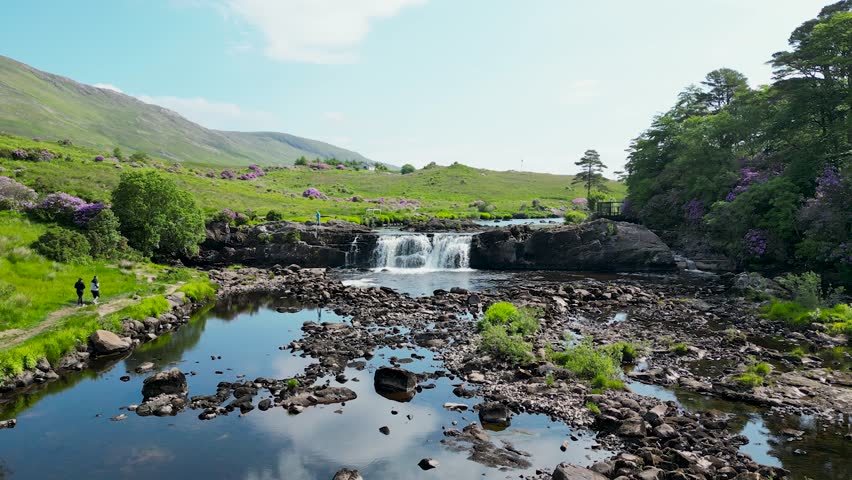 LisnafairyFairy fort / ringfort · 1411 yd
 Enclosure in CoxtownEnclosure · 1426 yd
 Bawn in Cooltymurraghy (clonmacnowen By.)Bawn · 1.3 mi
 European YewEuropean Yew · 1.7 mi
 European BeechEuropean Beech · 1.8 mi
 The bloody HollowHeritage attraction · 3.6 mi
 Battle of AughrimMajor battlefield · 3.7 mi
 Urraghry HillMountain / peak · 4.0 mi
 Battle of Aughrim Interpretative CentreMuseum · 4.3 mi