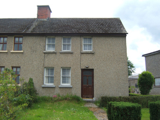
What is recorded here
End-of-terrace two-bay two-storey local authority house, built 1939, on a rectangular plan. One of a terrace of four forming part of a group of forty-six. Pitched profiled fibre-cement tile roof with concrete ridge tiles, red brick Running bond chimney stack (south) having concrete capping supporting terracotta pots, and replacement uPVC rainwater goods on eaves boards. Gritdashed roughcast walls. Paired square-headed (south) or square-headed (north) window openings with concrete sills, and concealed dressings framing two-over-two timber sash windows. Square-headed door opening (north) with concrete step, and concealed dressings framing glazed timber panelled door. Set back from street.
A house erected as one of a group of forty-six houses (including 15602055) representing an integral component of the twentieth-century built heritage of Bunclody with the architectural value of the composition, one recalling a contemporary development (1936) in Gorey (see 15601035 - 15601036), suggested by such attributes as the compact rectilinear plan form; and the slight diminishing in scale of the openings on each floor producing a graduated visual impression.
This does not grant access. Most recorded buildings are privately owned; view them only from public ground unless the owner allows entry.
Places near here
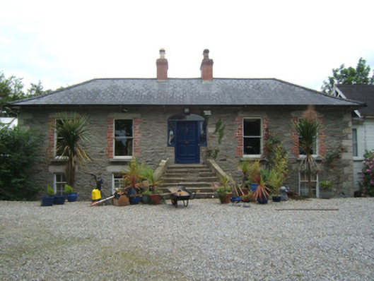 Weston Househouse · 140 yd
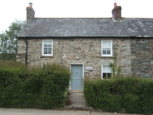 Suaimhneashouse · 296 yd
 Common LimeCommon Lime · 515 yd
 Bunclody 1798 Bicentenary MemorialMemorial · 539 yd
 1798 rebellion Battle of Newtownbarry (AKA Bunclody) commemorative plaqueMemorial · 659 yd
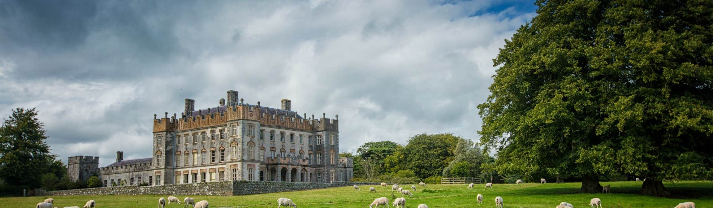 Round O RathEnclosure · 1236 yd
 Enclosure in CarrickduffEnclosure · 1260 yd
 Carrickduff WoodWood · 1424 yd
 Site of Clonmullen CastleCastle, unclassified · 1.0 mi
 Ryland Castle (in ruins)Castle, unclassified · 1.6 mi
 Barragh Church (in ruins), GraveyardChurch · 2.0 mi
 John's HillMountain / peak · 2.0 mi
Other information
Photo: National Inventory of Architectural Heritage · Website use allowed for educational or private purposes with source credit