What is recorded here
The weir (regulating) in Newtown (Holycross parish) is in County Tipperary, Ireland. The Civil Survey recorded four eel fishings near Holy Cross Abbey in the 1650s. Two stone weirs crossing the River Suir appear on the current edition of the Ordnance Survey six-inch map.
Described in the Civil Survey (1654-6) as having 'fower Eele fishings' (Simington 1931, vol. 1, 64) in the vicinity of Holycross abbey. Two stone weirs traversing the River Suir are indicated on the current edition OS 6-inch map.
The above description is derived from 'The Archaeological Inventory of County Tipperary. Vol. 1 - North Tipperary' compiled by Jean Farrelly and Caimin O'Brien (Dublin: Stationery Office, 2002). In certain instances the entries have been revised and updated in the light of recent research.
Date of upload/revision: 22 September 2008
The monument record does not grant public access. Check the route and ask the landowner before entering private land.
- What survives
- Recorded monument
Places near here
 Enclosure in Newtown (holycross Par.)Enclosure · 1230 yd
 Twoford Bridgesbridge · 1250 yd
 Enclosure in HolycrossEnclosure · 1335 yd
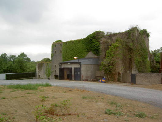 Holycross Distillerymill (water) · 1.0 mi
 RathkennanCastle, motte and bailey · 1.1 mi
 Milltown CastleCastle · 1.6 mi
 Killough Hill (site of)Mountain / peak · 2.4 mi
 Cormackstown Heritage CentreMuseum · 2.7 mi
 Clonoulty HillMountain / peak · 3.4 mi
 Wildlife CorridorWood · 4.2 mi
 Drum WoodWood · 4.2 mi
 Gift Horse GalleryGallery · 4.7 mi