What is recorded here
Newtown Forbes emerged from low-lying pasture in 1622 when Sir Arthur Forbes received Longford lands, creating a handsome estate village with fine stone houses and a sumptuously adorned church. The joyful ambition crashed in 1690 when Roman Catholic Irish forces attacked and set the village on fire, reducing that proud architecture to smoke and memory. Today a simple north-south street holds the rebuilt dwellings, preserving the shape of the plan rather than the original glory.
In low-lying pasture to the SE of the demesne of Castleforbes. Newtown Forbes was established as an estate village by Sir Arthur Forbes in 1622 when he was granted lands in Longford as part of the plantation of the county (Cal. pat. rolls Ire., Jas I, 540 1). Described in 1682 by Nicholas Dowdall as ‘a handsome Town wherein are fine stone houses and more a building’, with ‘a fair and Large Church [LF008-035----] Sumptuously adorned' (Gillespie and Moran 1991, 208). In 1690 the village was attacked and set on fire by Roman Catholic Irish forces (Hastings 1868, 66). It consists of a street, aligned roughly N-S, with dwellings on either side of it. At its S end is a 19th-century (C of I) church. 'Castle Forbes' (LF008-012----), the seat of the founding family, is situated c. 1km to the NW of the village. The modern streetscape dates from the 18th and 19th centuries.
Compiled by: Caimin O'Brien
Date of upload: 31 July 2013
The monument record does not grant public access. Check the route and ask the landowner before entering private land.
- What survives
- Recorded monument
Places near here
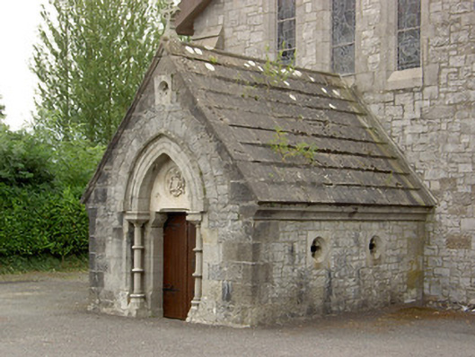 Saint Mary's Catholic Churchmausoleum · 78 yd
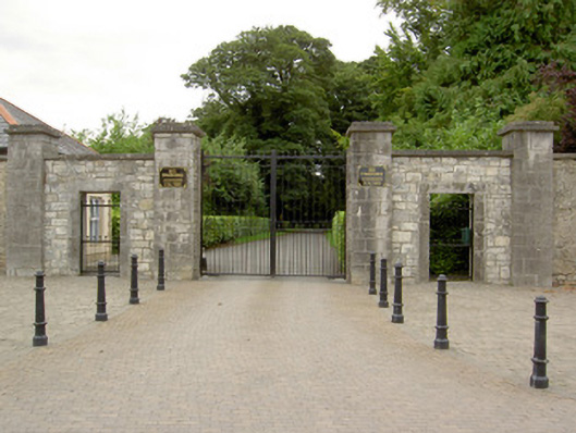 Castle Forbesgates/railings/walls · 83 yd
 Common LimeCommon Lime · 618 yd
 Pedunculate OakPedunculate Oak · 621 yd
 CastleforbesCastle · 1255 yd
 Bawn in Castleforbes DemesneBawn · 1305 yd
 Grave Yard (Disused)Graveyard · 1.3 mi
 Enclosure in MinardEnclosure · 1.4 mi
 Saint Mel's CathedralCathedral · 3.1 mi
 First World War MemorialMemorial · 3.2 mi
 Graveyard in Curry (ardagh By., Coolamber Ed)Graveyard · 5.4 mi
 Commons North WalkVisitor information · 9.2 mi