What is recorded here
On a W-facing slope overlooking the floodplain where the River Blackwater flows into the River Suir, in tillage. A roundabout to facilitate the N25 Waterford City Bypass is located c. 200m to the NW. A larger enclosure (KK043-098----) is located c. 80m to the W. Identified as a possible circular or oval cropmark by Simon Dowling (aerial image, 29 July 2018). It is defined by a single cropmark, indicating the monument (diam. c. 20-25m) was enclosed by a fosse. The N sector of the cropmark is fainter than the rest of the circuit.
See attached image by Simon Dowling (29 July 2018):
KK043-099----_01 The larger enclosure (KK043-098----) is to the left.
Compiled by: Jean Farrelly
Date of upload: 30 July 2018
The monument record does not grant public access. Check the route and ask the landowner before entering private land.
- What survives
- Recorded monument
Places near here
 Enclosure in NewrathEnclosure · 119 yd
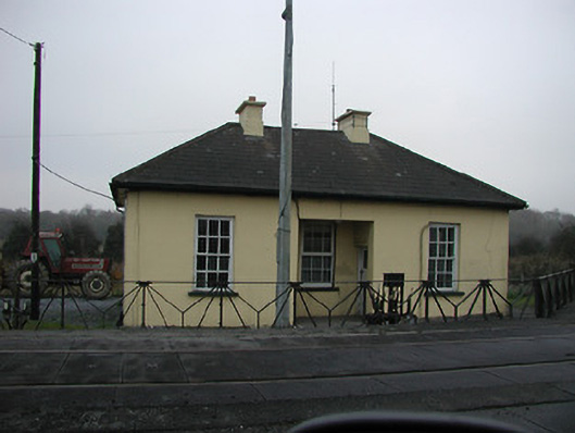 worker's houseworker's house · 738 yd
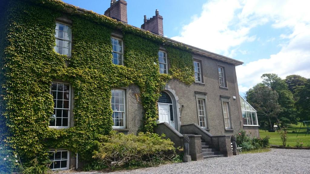
 Mullinabro Housecountry house · 1026 yd
 Clock TowerHeritage attraction · 1.2 mi
 Slí na SláinteVisitor information · 1.2 mi
 Structure in Gracedieu WestStructure · 1.2 mi
 CastleCastle, unclassified · 1.3 mi
 Granny CastleCastle, tower house · 1.4 mi
 Native Woodland Trust:Grace Dieu ReserveWood · 1.9 mi
 Native Irish Tree TrailWood · 2.7 mi
 Mount Congreve GardensHeritage attraction · 4.4 mi
 Sugar Loaf RockMountain / peak · 4.9 mi