
What is recorded here
Indicated is a grass-covered ringfort on a Monaghan drumlin, visible from Newbliss House. Its earthen bank still stands highest at the southeast, while a shallow northern depression and forgotten tree stumps suggest people once lived, buried or played inside the circle. The fairies may have taken the sharper edges, but the shape remains clear enough to walk around and imagine.
Situated on top of a drumlin and within view of the site of Newbliss House, which is c. 240m to the NNE. This is a circular grass-covered area (diam. 45m E-W; 43.9m N-S) defined by a grass-covered earthen bank (at S: Wth of base 2.5m; int. H 0.7m; ext. H 1.4m) with some bushes that is best preserved at SE, where there is an external drain (Wth 1.1m D 0.2m). The original entrance is not identified but the most likely is at NNW (Wth of base 1.8m), and there were old trees stumps in the interior in 1969. A grass-covered depression (dims c. 10m N-S; c. 4m E-W) in the N interior is not likely to be a Man-made underground passage. Although it is depicted as a large tree-riing on the 1834 edition of the OS 6-inch map, it is probably a rath in origin.
Revised by: Michael Moore
Date of revised upload: 9 May 2018
The monument record does not grant public access. Check the route and ask the landowner before entering private land.
- What survives
- Recorded monument
Places near here
 Indicated in plantingFairy fort / earthen ringfort · 312 yd
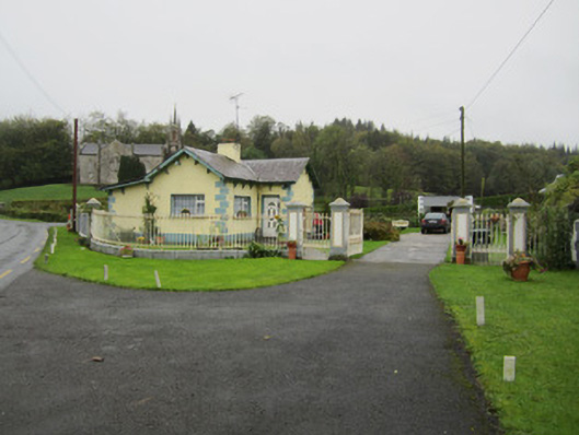 Newbliss Housegate lodge · 540 yd
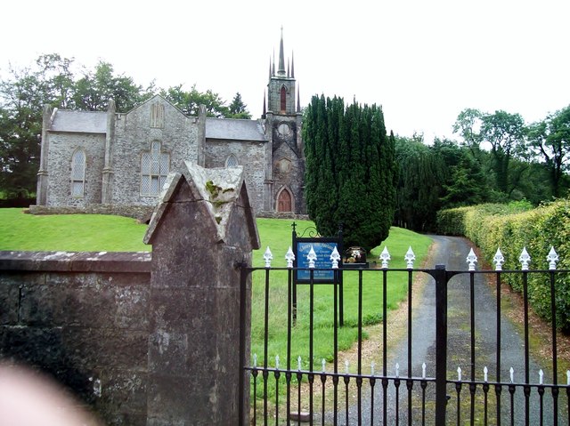 Newbliss Church (Killeevan)church/chapel · 541 yd
 LisaleaFairy fort / earthen ringfort · 1202 yd
 Tomb HillMountain / peak · 1.9 mi
 Common LimeCommon Lime · 2.0 mi
 KillycoonaghWood · 2.2 mi
 Saint John's WellSpring · 2.3 mi
 Roosky Castle (Site of)Castle, ringwork · 2.6 mi
 Lisarrilly HillMountain / peak · 2.8 mi
 Jaundice WellSpring · 3.8 mi
 Senator Billy Fox 1939 - 1974Memorial · 11 mi
Other information
Photo: Credit not shown in the picture search · Rights wording not checked; contact us if this picture should be removed