What is recorded here
The following description is derived from the published 'Archaeological Inventory of County Meath' (Dublin: Stationery Office, 1987). In certain instances the entries have been revised and updated in the light of recent research.
Date of upload/revision: 10 July 2007
Described as barrow, (PRIA 1957, 266, No 19). No visible trace.
This remains an important historical record, but the official description says the monument is no longer visible or has been destroyed. The monument record does not grant public access. Check the route and ask the landowner before entering private land.
- What survives
- No visible remains or recorded as destroyed
Places near here
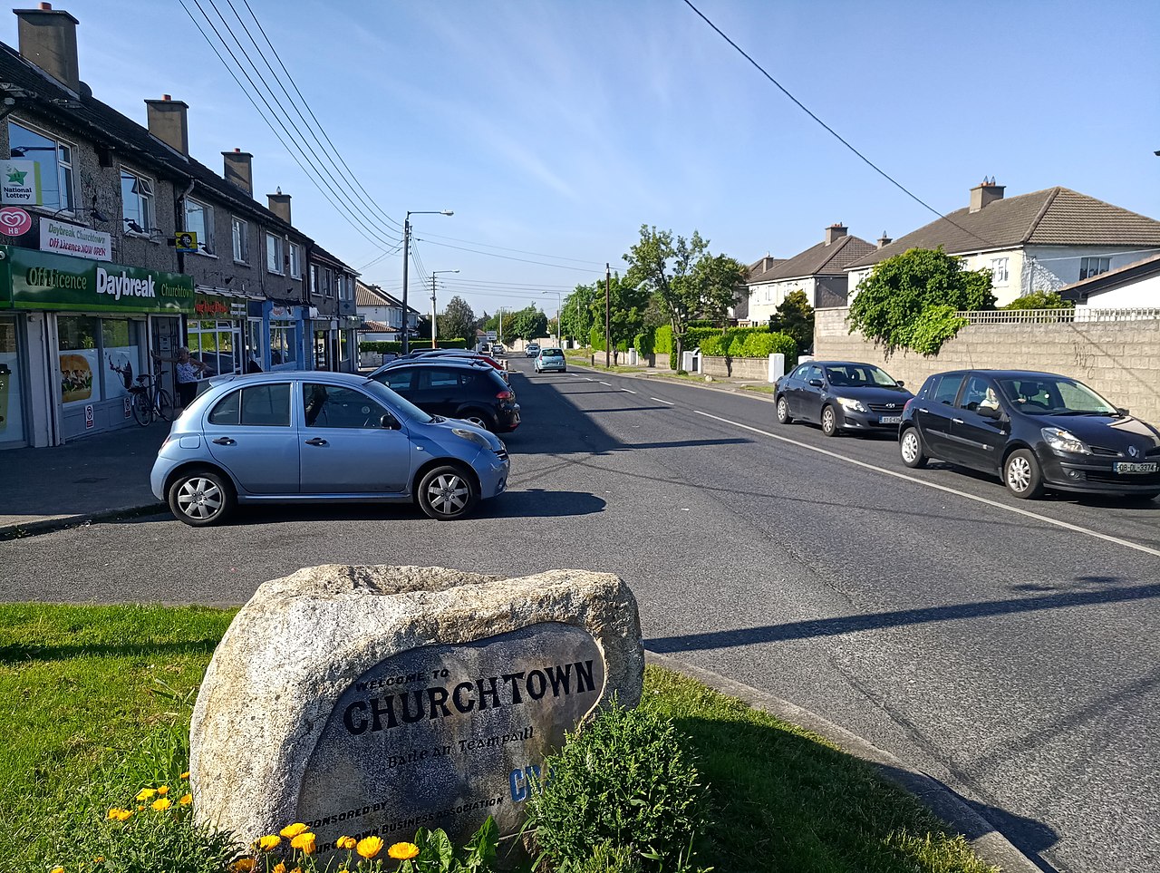 IndicatedKiln, lime · 180 yd
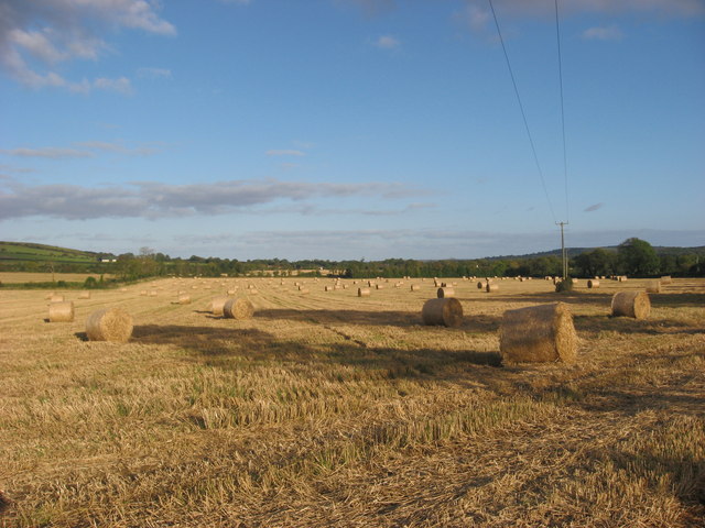 Enclosure in NaulEnclosure · 529 yd
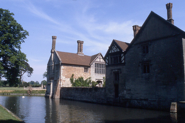 MoatBarrow, stepped barrow · 619 yd
 Westown HouseCastle, tower house · 1106 yd
 Naul Park HouseCastle, unclassified · 1128 yd
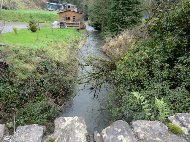 mill (water)mill (water) · 1244 yd
 Seamus Ennis Cultural CentreMemorial · 1408 yd
 Bun-na-CnoicMemorial · 1664 yd
 Naul HillMountain / peak · 1670 yd
 FourknocksPassage tomb · 1.4 mi
 Tullog WoodForest · 1.6 mi
 KnockbrackMountain / peak · 2.3 mi