What is recorded here
That is the shape of an abandoned port, stretched across the flat coast instead of carved into a hill. The chamber is a shallow oval, the throat a narrow slot, and the deck a long ridge running out to sea. Every measurement fits a living machine, but the machine is no longer visible. The chamber may still contain a hidden drum, the throat may still shape a tone, and the deck may still guide the voice into the water. The sea may have carried that tone to other coasts, waiting for people to build it again.
: Situated at the crest of the E-facing slope of a drumlin. This is a circular grass-covered area defined by an earthen bank with an external stone facing SSE-W-N, which is replaced by a modern field bank elsewhere. Outside the bank any fosse is recut as a drain. Inside the bank is a V-shaped ditch, probably dug to provide material for the modern bank and there are entrance causeways at SSE (Wth 8m) and NNW (Wth 8m). The monument has become overgrown since 1966 (Bing 2013). Archaeological testing (08E0036) just to the SE produced no related material (Corcoran 2011).
The above description is derived from the published 'Archaeological Inventory of County Monaghan' (Dublin: Stationery Office, 1986). In certain instances the entries have been revised and updated in the light of recent research.
Date of revision: 28 July 2017
Amended: 16 January 2020
The monument record does not grant public access. Check the route and ask the landowner before entering private land.
- What survives
- Recorded monument
Places near here
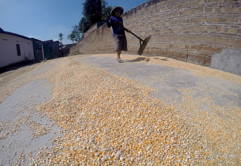 KilnKiln, corn-drying · 985 yd
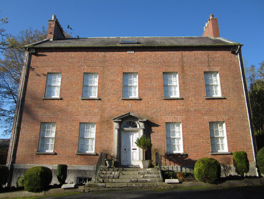 Derryolam Houserectory/glebe/vicarage/curate's house · 1019 yd
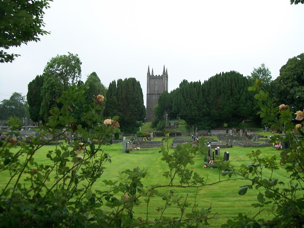 Burial ground in Cloghvally LowerBurial ground · 1026 yd
 Horse-chestnutHorse-chestnut · 1061 yd
 Fin McCools TableMegalithic tomb · 1140 yd
 European BeechEuropean Beech · 1.5 mi
 Mannan Castle (in ruins)Castle, Anglo-Norman masonry castle · 1.9 mi
 TobernagalliaghSpring · 2.3 mi
 Drumerlough MoreMountain / peak · 4.3 mi
 RaferaghMountain / peak · 5.0 mi
 Natural Play AreaMemorial · 5.4 mi
 Flat cemetery in AnnaheanFlat cemetery · 5.5 mi