What is recorded here
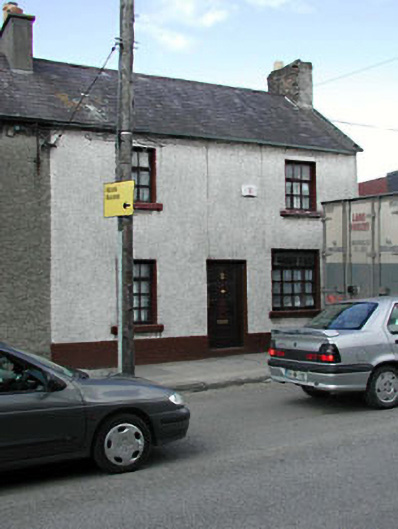
End-of-terrace three-bay two-storey house, c.1870, originally semi-detached. Renovated, c.1960, with openings remodelled to right ground floor to accommodate commercial use. Refenestrated, c.1985, with ground floor reconverted to residential use. One of a pair. Gable-ended roof with slate. Clay ridge tiles. Rendered chimney stack. Cast-iron rainwater goods. Roughcast walls. Painted. Square-headed openings (remodelled, c.1960, to right ground floor). Replacement timber casement windows, c.1985. Replacement timber panelled door, c.1985. Road fronted. Concrete footpath to front.
This house, although altered to right ground floor to accommodate a commercial use, retains much of its original form and some of its character. Built as one of a pair with the building immediately to west (11814018/KD-19-14-8), and therefore continuing the streetline and roofline of the streetscape, the house is an attractive feature on the road leading on to Main Street South to the east. The house is of some social and historic significance, representing the continued development and expansion of the historic core of Naas in the mid to late nineteenth century. The house retains some of its original features and materials, including a slate roof with cast-iron rainwater goods.
This does not grant access. Most recorded buildings are privately owned; view them only from public ground unless the owner allows entry.
Places near here
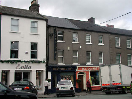 M.F. Gogartyhouse · 60 yd
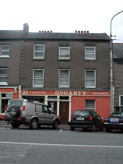 Gogartyhouse · 64 yd
 South Moat, Ordnance Ground, Fair GreenCastle, motte · 282 yd
 Not indciatedTown defences · 305 yd
 CastleCastle, tower house · 315 yd
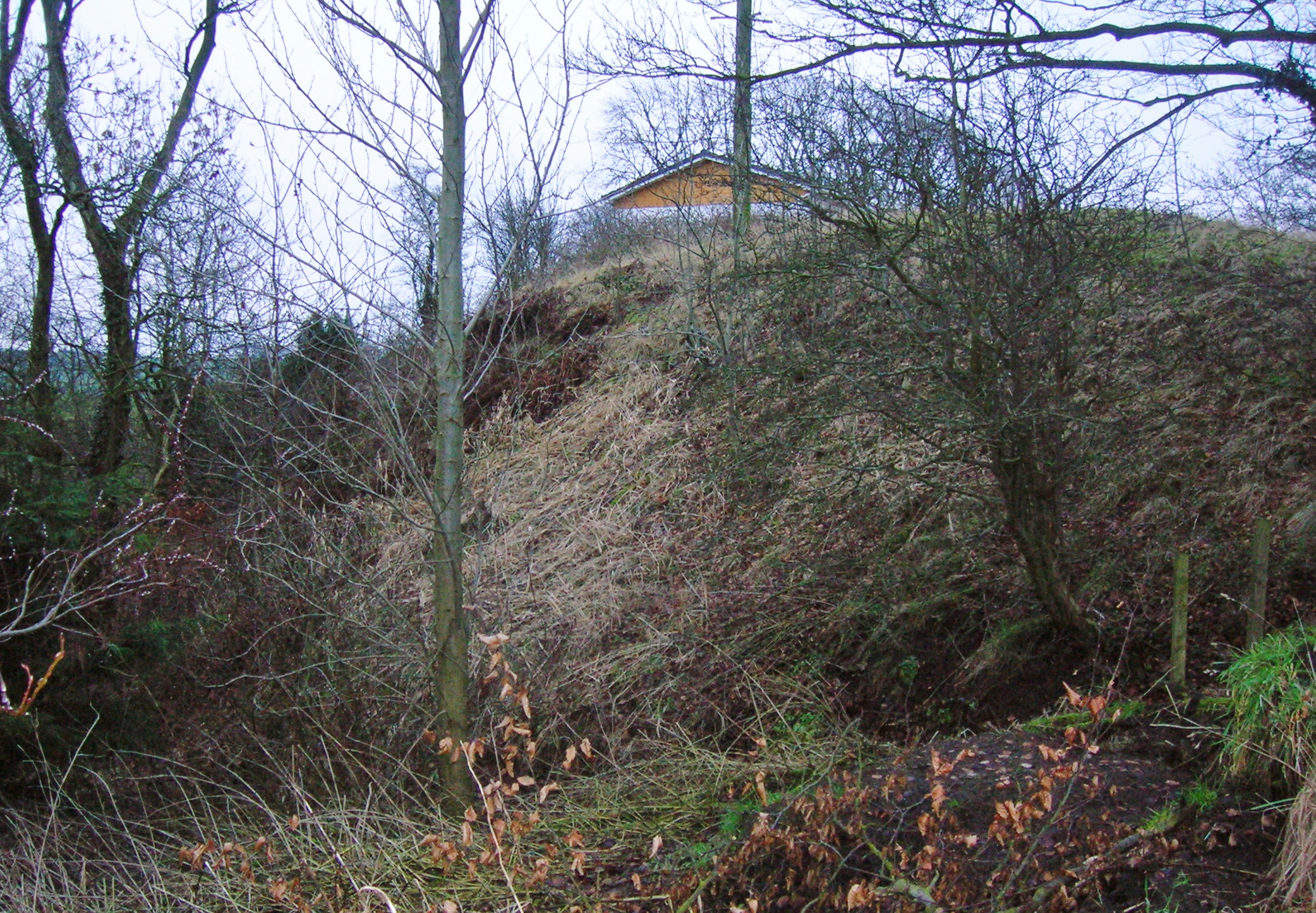 North MoteArchaeological place · 386 yd
 Poplar SquarePicnic place · 556 yd
 Monread District Park WoodsWood · 1.1 mi
 Naas ParkWood · 1.2 mi
 Museum of MotorsportMuseum · 4.3 mi
 Cupidstown HillMountain / peak · 7.1 mi
 Athgoe HillMountain / peak · 8.0 mi
Other information
Photo: National Inventory of Architectural Heritage · Website use allowed for educational or private purposes with source credit