What is recorded here
Indicated is a graveyard on the north bank of the Bandon river where water continually erodes the yard and claims back what stone and soil once held. Low uninscribed markers and headstones dating to the 1770s stand beside chest tombs and the remains of a church, while a disused gravel quarry skirts two sides like a scar left open. The place feels less forgotten than impatient, as if the river is finishing what death began.
On N bank of Bandon river - yard continually being eroded by river; enclosed on N, E and W sides by stone wall. Many low, uninscribed gravemarkers; inscribed headstones date to 1770'; some chest tombs. Disused gravel quarry skirts yard on N and W sides. Contains remains of church (CO109-011----).
The above description is derived from the published 'Archaeological Inventory of County Cork. Volume 1: West Cork' (Dublin: Stationery Office, 1992). In certain instances the entries have been revised and updated in the light of recent research.
Date of upload/revision: 14 January 2009
The monument record does not grant public access. Check the route and ask the landowner before entering private land.
- What survives
- Recorded monument
Places near here
 Murragh Bridge Murragh Bridgebridge · 379 yd
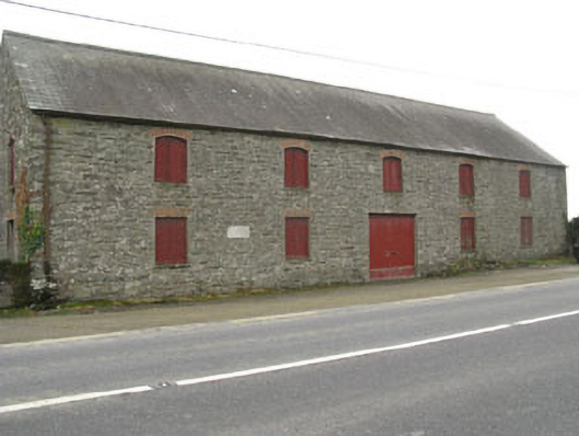 outbuildingoutbuilding · 538 yd
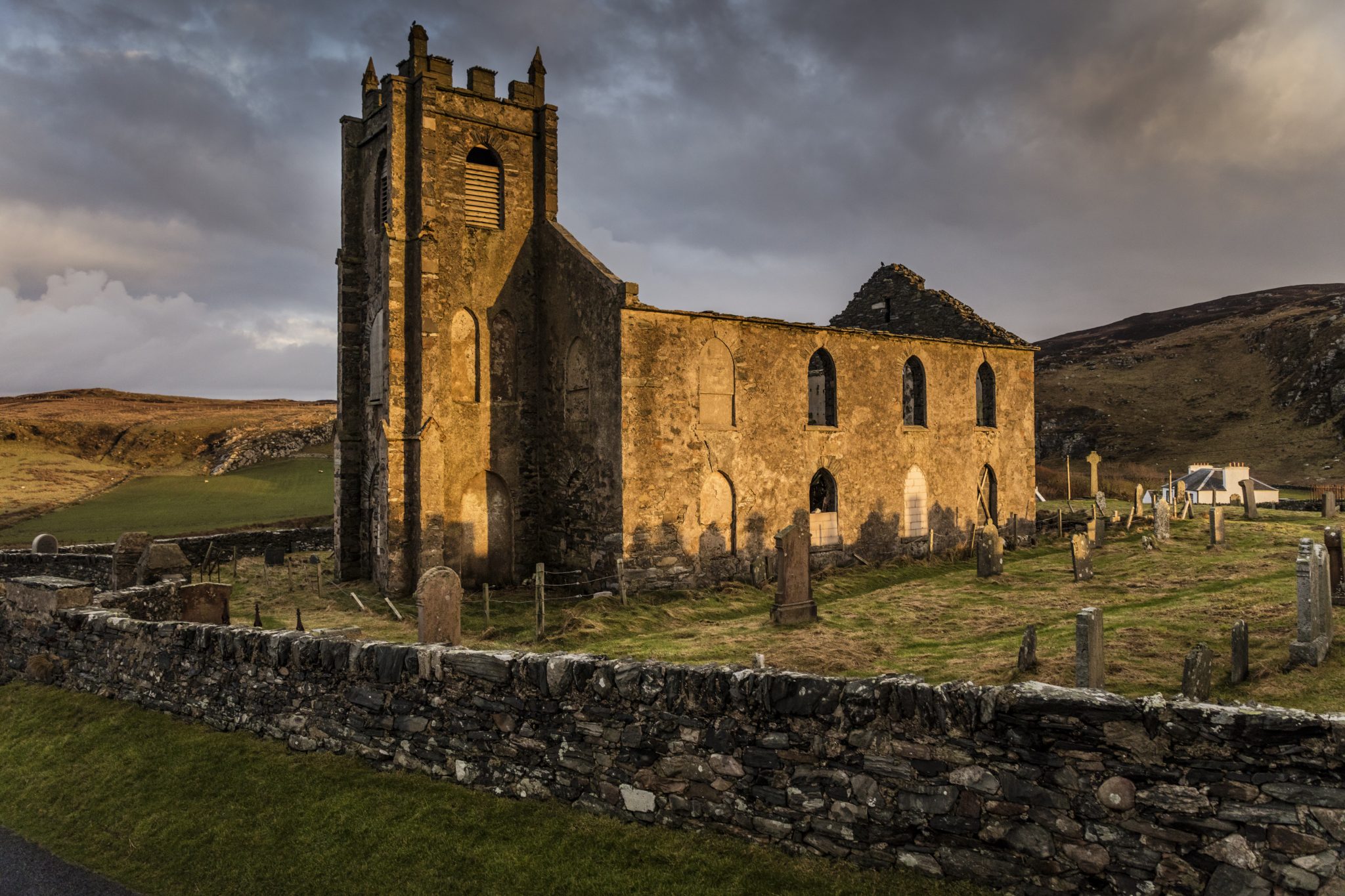 Man-made underground passage in Kilcolman (kinalmeaky By.)Man-made underground passage · 1165 yd
 Fulacht fia in FarrannashesheryFulacht fia · 1225 yd
 Tobar MacloonaboySpring · 1.9 mi
 The GlenWood · 2.5 mi
 Castle DerryCastle · 2.5 mi
 Corran HillMountain / peak · 3.8 mi
 Green HillMountain / peak · 4.2 mi
 Castle RockNamed rock · 4.6 mi
 Irish National Forestry FoundationNature reserve · 4.7 mi
 Towers (in Ruins)House, fortified house · 4.8 mi