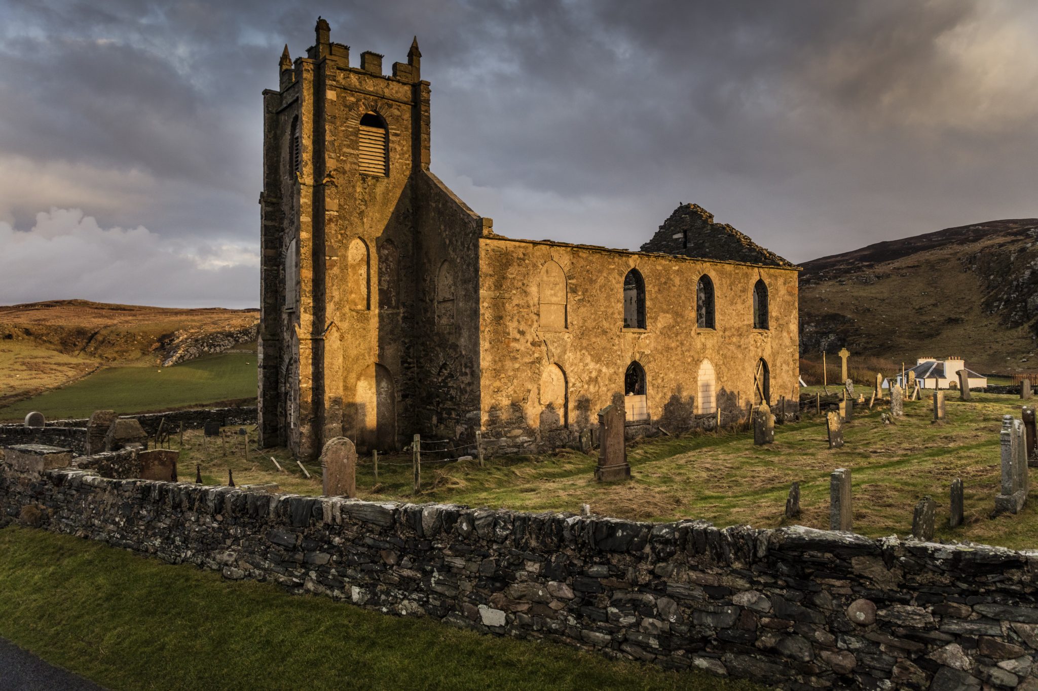
What is recorded here
Kilcolman underground passage emerged during tillage east of the ringfort, a man-made hole in the Cork earth. Whether it served as a shelter, a boundary marker, or a forgotten road beneath the fields, the passage still belongs to the village. The soil remembers the shape of human hands even when the name has faded.
Underground passage discovered during tillage operations to E of ringfort (CO109-034---) (Ó Riordáin 1932, 6). Exact location not known.
The above description is derived from the published 'Archaeological Inventory of County Cork. Volume 1: West Cork' (Dublin: Stationery Office, 1992). In certain instances the entries have been revised and updated in the light of recent research.
Date of upload/revision: 14 January 2009
The monument record does not grant public access. Check the route and ask the landowner before entering private land.
- What survives
- Recorded monument
Places near here
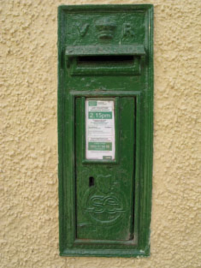 post boxpost box · 545 yd
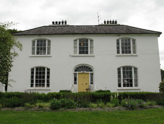 Church Hill Househouse · 718 yd
 Fulacht fia in FarrannashesheryFulacht fia · 878 yd
 Fulacht fia in Maulbrack WestFulacht fia · 1.0 mi
 Tobar MacloonaboySpring · 1.5 mi
 Castle DerryCastle · 2.0 mi
 The GlenWood · 2.2 mi
 Corran HillMountain / peak · 3.4 mi
 Irish National Forestry FoundationNature reserve · 4.7 mi
 Monteen Castle (in Ruins)Castle, tower house · 4.8 mi
 Castle RockNamed rock · 4.9 mi
 Green HillMountain / peak · 4.9 mi
Other information
Photo: Credit not shown in the picture search · Rights wording not checked; contact us if this picture should be removed