What is recorded here
Murragh is a place where the land itself has been eaten. A long ridge-like mound once stood twelve feet high on the north bank of the Bandon river, but quarrying stripped it away until nothing remained. Even the memory of its shape has faded, leaving only a gap where the earth should be. What was buried there is gone not to time but to hunger, and the river still flows past the wound as if it never knew the mound at all.
In 1843 Windele visited a tumulus on N bank of Bandon river to W of Murragh church and graveyard (CO109-011---) (O'Mahony 1909, 213-4). He described 'a long ridge-like mound' measuring '81 feet 31 paces in length, and is 12 feet high. At the river side it has greatly fallen away'. Area to W of church has been quarried extensively over past 50 years leaving no trace of tumulus. This is almost certainly the monument which is depicted as a semicircular earthwork on the N edge of the Bandon River and to the W of Murragh Church and is named 'Danes Fort' on a map entitled - 'Survey of the Bandon and Western Districts in the baronies of Killinamakey, East Carbery, Musgerry, Barrets and Barryroe and County of Cork. The estate of his Grace the Duke of Devonshire by Bernard Scalé, 1775'.
The above description is derived from the published 'Archaeological Inventory of County Cork. Volume 1: West Cork' (Dublin: Stationery Office, 1992). In certain instances the entries have been revised and updated in the light of recent research.
Date of upload/revision: 14 January 2009
The monument record does not grant public access. Check the route and ask the landowner before entering private land.
- What survives
- Recorded monument
Places near here
 Murragh Bridge Murragh Bridgebridge · 285 yd
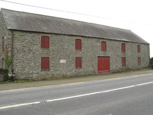 outbuildingoutbuilding · 523 yd
 Fulacht fia in FarrannashesheryFulacht fia · 1162 yd
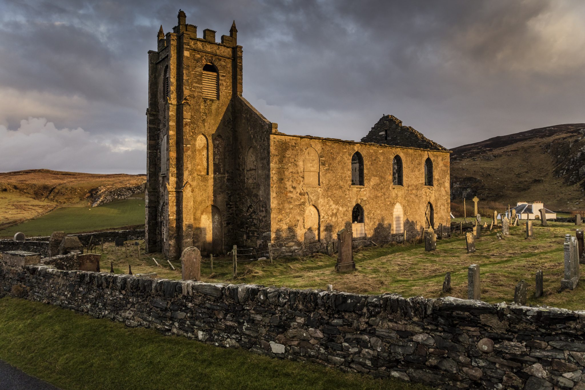 Man-made underground passage in Kilcolman (kinalmeaky By.)Man-made underground passage · 1189 yd
 Tobar MacloonaboySpring · 2.0 mi
 The GlenWood · 2.4 mi
 Castle DerryCastle · 2.5 mi
 Corran HillMountain / peak · 3.7 mi
 Green HillMountain / peak · 4.2 mi
 Castle RockNamed rock · 4.5 mi
 Irish National Forestry FoundationNature reserve · 4.6 mi
 Towers (in Ruins)House, fortified house · 4.9 mi