What is recorded here
Gallauns is a squat, hunched standing stone in rough boggy pasture on the Iveragh Peninsula, one of a pair recorded on early maps whose second partner has vanished without explanation. Broad, low and barely half a metre deep, it crouches beside the Kealafreaghane river like a marker forgotten by the land itself. The Iveragh carries a dense scatter of these Bronze Age stones, yet this one keeps its own silence, holding the shape of a pairing no living person can now read.
In pasture atop hill. Depicted as single stone on OS 6-inch map (1842). Named "Gallauns" along with another stone one field away (CO141-062002-). No visible surface trace.
The above description is derived from the published 'Archaeological Inventory of County Cork. Volume 1: West Cork' (Dublin: Stationery Office, 1992). In certain instances the entries have been revised and updated in the light of recent research.
Date of upload/revision: 14 January 2009
The monument record does not grant public access. Check the route and ask the landowner before entering private land.
- What survives
- Recorded monument
Places near here
 Man-made underground passage in Hollyhill (carbery W. (e.d) By.)Man-made underground passage · 317 yd
 CaveMan-made underground passage · 327 yd
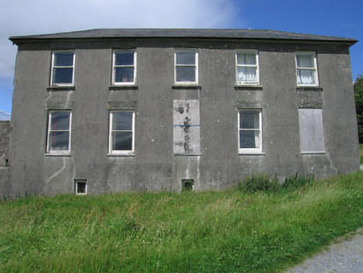 Westfield Housecountry house · 896 yd
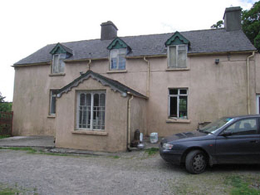 Aghadown Househouse · 1187 yd
 Monterey CypressMonterey Cypress · 1.2 mi
 Kilcoe CastleCastle · 2.2 mi
 Mannin BegIslet · 2.2 mi
 Bawn in Oldcourt (carbery West (e.d) By.)Bawn · 2.5 mi
 Mannin IslandIslet · 2.5 mi
 Wild Atlantic WayVisitor information · 2.7 mi
 KnockaphukeenMountain / peak · 3.6 mi
 Ballydehob Railway StationVisitor information · 3.8 mi