What is recorded here
Mundellihy holds a twenty-nine metre circular fort with a two metre external bank and a rectangular southern annex, marking it as a substantial domestic site rather than a temporary camp. Mature trees now shade the level interior, softening the sharp geometry of the earthen defences. The fort likely supported a local farming community, giving its residents a defensible home and a clear boundary between their land and the surrounding pasture.
In level pasture. Circular area (diam. 29m) enclosed by earthen bank (int. H 0.6m; ext. H 2m), with external fosse (D 0.8m; Wth 3m) WSW->ESE. Annex-like rectangular area (30m E-W; 10m N-S) on S side enclosed on field boundary on E, S and W sides and by bank of enclosure to N. Level interior partially covered by mature trees.
Compiled by: Denis Power
Date of upload: 26 August 2011
The monument record does not grant public access. Check the route and ask the landowner before entering private land.
- What survives
- Recorded monument
Places near here
 Enclosure in BallinlongigEnclosure · 1036 yd
 CastleCastle, unclassified · 1136 yd
 ToberacappeenSpring · 1186 yd
 Burnt mound in Gardenfield SouthBurnt mound · 1.1 mi
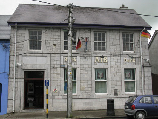 Allied Irish Bankbank/financial institution · 1.2 mi
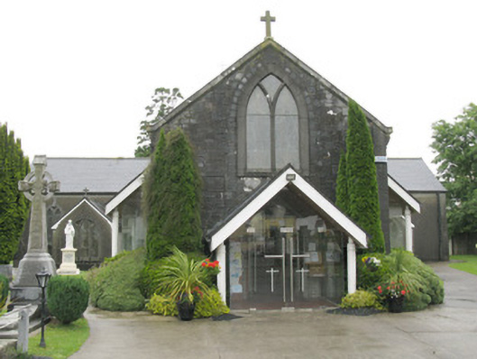 Saint Bartholomew's Catholic Churchchurch/chapel · 1.2 mi
 National Co-op MuseumMuseum · 1.2 mi
 Castle (in ruins), Springfield CastleCastle, tower house · 1.7 mi
 ToberhoranSpring · 1.9 mi
 Mullaghareirk - Banane LoopWalking route · 6.5 mi
 Ballagh MountainMountain / peak · 6.9 mi
 Battle of LiscarrollMajor battlefield · 8.1 mi