What is recorded here
Lisleitrim Fort in County Armagh is a multivallate rath with a man-made underground passage, preserved as a scheduled ancient site. The layered earthworks suggest a place built to exclude, defend, or contain, while the hidden passage invites a different purpose: entry, escape, or a route known only to its makers. The name itself resists easy pronunciation, as if the location wanted to remain slightly unreachable.
The official Northern Ireland record identifies this as MULTIVALLATE RATH & Man-made underground passage: LISLEITRIM FORT. Recorded period: E.CHRIST.. Recorded protection: Scheduled. The official map point was placed at the centre of the recorded archaeological site from the source map reference.
The monument record does not grant public access. Check the route and ask the landowner before entering private land.
- What survives
- Recorded monument
Places near here
 CRANNOG IN LISLEITRIM LOUGH in Kiltybane OR LisleitrimCRANNOG IN LISLEITRIM LOUGH · 654 yd
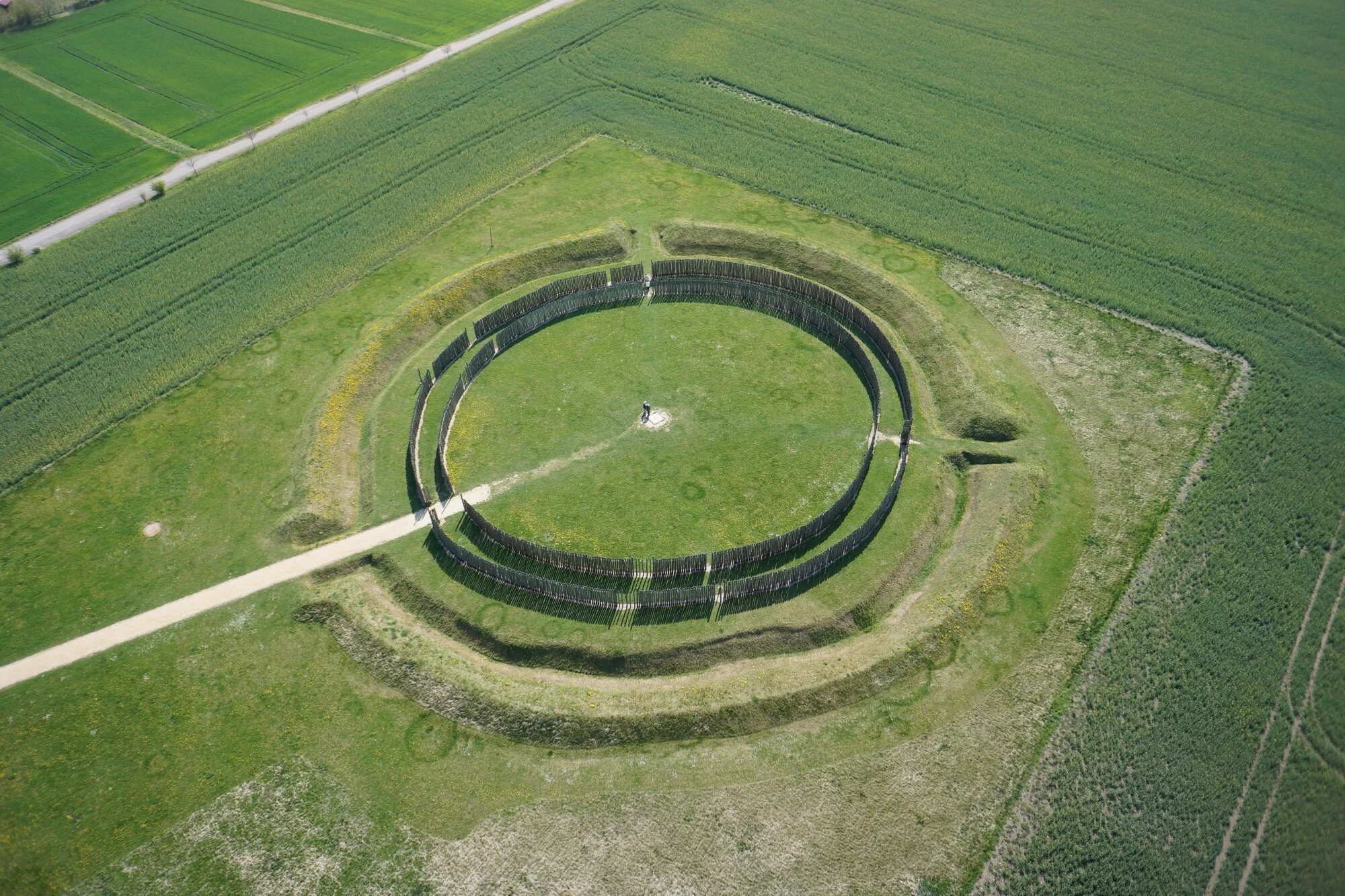 A.P. SITEA.P. SITE, large circular enclosure · 1359 yd
 Creggan Freeduff Presbyterian ChurchChurch · 1.4 mi
 Operation Conservationmilitary operation · 1.5 mi
 The Black Castle Chambered GraveArchaeological place · 1.8 mi
 Tullycollive Bridgebridge · 2.0 mi
 Crane IslandIsland · 2.9 mi
 Tullyvallen Orange Hall massacremassacre · 3.1 mi
 Dairy HillMountain / peak · 3.3 mi
 MEDIEVAL & POST-MED. CHURCH & GRAVEYARD in Creggan Bane GlebeMEDIEVAL & POST-MED. CHURCH & GRAVEYARD · 3.5 mi
 Whites IslandIslet · 3.7 mi
 Irish Hunger StrikersMemorial · 3.8 mi