What is recorded here
The 1641 Survey of Mullingar recorded that William Hamon a merchant in the town of Mullingar possessed ‘a house and garden plot, beyond the river (Brosna) of the said town, lying and being from the highway to the bridge (WM019-089015-), the correction house on the east, Priorstreete (Austin Friars St.) on the south, Hamons mill (WM019-089038-) commonly called Mullynehounny to the west’ (Andrews and Davies 1992, 15). This building was located on the N side of Austin Friars St., however the precise location of this correction house has not been identified Ibid., 10).
Compiled by: Caimin O'Brien
Date of upload: 01 July 2014
The monument record does not grant public access. Check the route and ask the landowner before entering private land.
- What survives
- Recorded monument
Places near here
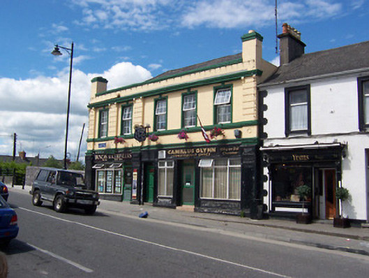 Railway Houseshop/retail outlet · 83 yd
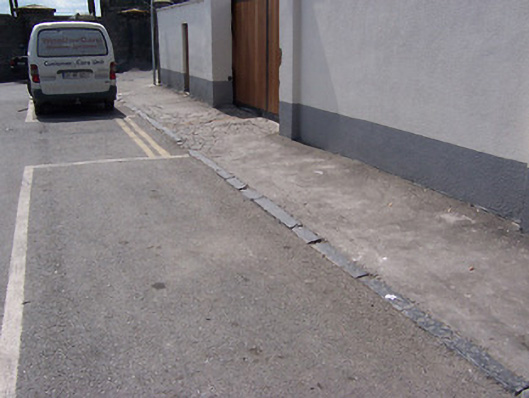 cobbles/flags/paving/kerbingcobbles/flags/paving/kerbing · 112 yd
 Famine MemorialMemorial · 331 yd
 CastleCastle, unclassified · 344 yd
 The Chimera GalleryGallery · 373 yd
 Site of CastleCastle, unclassified · 387 yd
 Mullingar Cathedral MuseumMuseum · 439 yd
 Courthouse in MullingarCourthouse · 556 yd
 Town defences in MullingarTown defences · 724 yd
 Augustinian Monks Memorial StatueMemorial · 840 yd
 Saint Brigid's WellSpring · 1.8 mi
 Lady's IslandWood · 2.7 mi