What is recorded here
Fairy fort in Mullenroe, County Cork: a 29-metre earthen ring on a north-facing slope, old enough to be local legend and real enough to be measured. It is the kind of place people named before they understood it, a circle of earth and stone in pasture where ordinary land stops behaving ordinarily. Whether it was a dwelling, a boundary marker, a child's myth made visible or a forgotten ritual site, the shape still does its work: it separates the known field from the part the field will not explain.
In pasture, on N-facing slope. Roughly circular area (29m N-S; 29m E-W) enclosed by earth and stone bank (H 1m). Remains of cultivation ridges cross interior on N-S axis.
The above description is derived from the published 'Archaeological Inventory of County Cork. Volume 3: Mid Cork' (Dublin: Stationery Office, 1997). In certain instances the entries have been revised and updated in the light of recent research.
Date of upload/revision: 14 January 2009
The monument record does not grant public access. Check the route and ask the landowner before entering private land.
- What survives
- Recorded monument
Places near here
 Man-made underground passage (Site of)Man-made underground passage · 1721 yd
 Man-made underground passageMan-made underground passage · 1.1 mi
 Neill's WoodWood · 1.2 mi
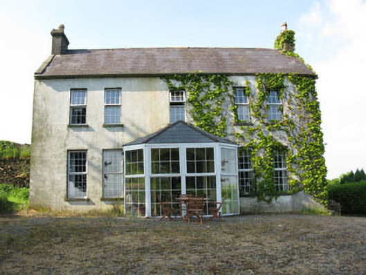 Mount Crosshouse · 1.3 mi
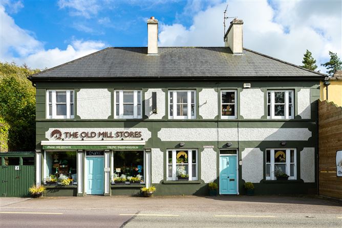 Old MillMill, unclassified · 1.4 mi
 Clonavrick CliffCliff · 1.7 mi
 Macroom WalksVisitor information · 2.8 mi
 Macroom Castle (in Ruins)Castle, tower house · 2.9 mi
 Battle of Macroombattle · 3.0 mi
 Carrigaphooca CastleCastle · 3.0 mi
 Curraheen WoodWood · 3.1 mi
 BurrenMountain / peak · 3.5 mi