
What is recorded here
The fairy fort or stone ringfort in Mullaun is in County Sligo, Ireland. It occupies level pasture on a south-facing slope of the Ox Mountains. An oval area measures twenty-two and a half metres north-south and twenty-eight metres east-west. A ruinous drystone wall encloses the space, though several breaks appear along the north arc and one at the southwest.
In level pasture, on a S-facing slope of the Ox Mountains. An oval area (22.5m N-S; 28m E-W) enclosed by a ruinous drystone wall (Wth 2.2m; H c. 0.3m). There are several breaks in the wall along the N arc and one at SW. A field boundary wall crosses the W half of the interior on a N-S axis; a right angled corner of another field boundary wall truncates the cashel wall and encroaches slightly into interior in the NE quadrant. The interior is heavily poached by cattle and there is a rock outcrop in the centre.
The above description is derived from the published 'Archaeological Inventory of County Sligo' compiled by Ursula Egan, Elizabeth Byrne, Mary Sleeman with Sheila Ronan and Connie Murphy (Dublin Stationery Office, 2005).
Date of upload: 18 January 2008
The monument record does not grant public access. Check the route and ask the landowner before entering private land.
- What survives
- Recorded monument
Places near here
 Tawnyart WoodWood · 1.1 mi
 New WoodWood · 1.4 mi
 CaltraghArchaeological place · 1.6 mi
 Enclosure in SessuegarryEnclosure · 1.6 mi
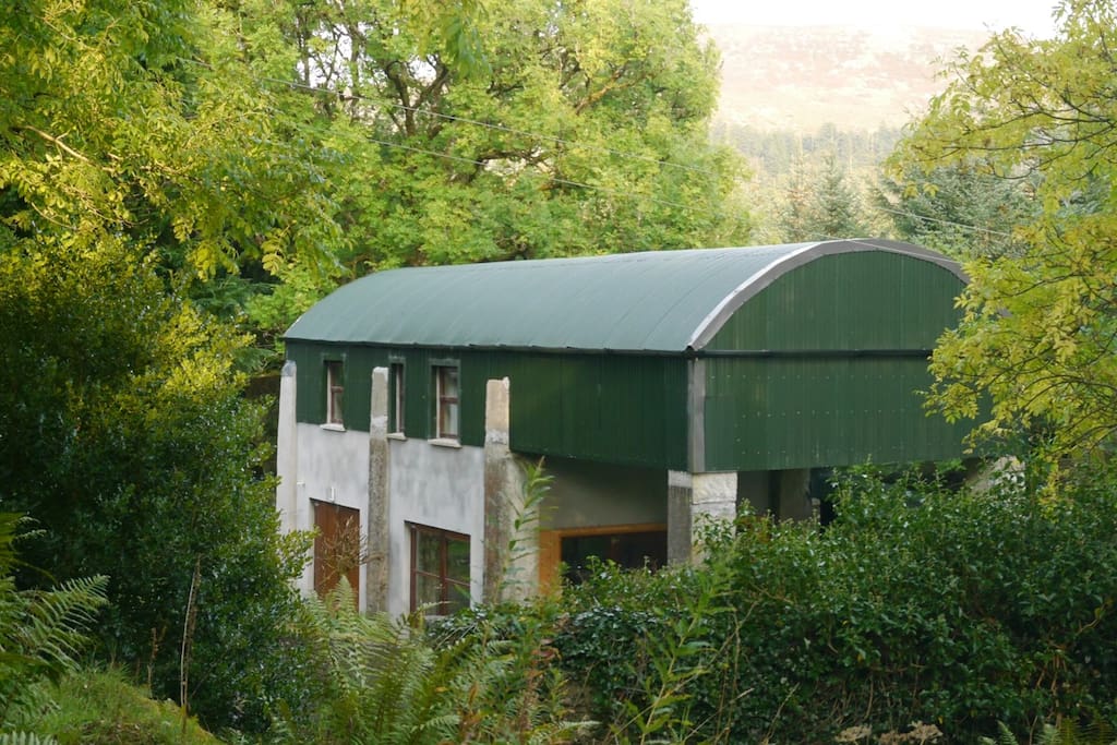 CloonacoolMountain / peak · 2.3 mi
 Mass RockNamed rock · 2.3 mi
 FriaryReligious house, Franciscan Third Order Regular · 2.4 mi
 Castle Carragh in RuinsCastle, unclassified · 3.1 mi
 Castle (Site of)Castle, unclassified · 3.3 mi
 The Turf Stack RockNamed rock · 3.6 mi
 Sruffaungarve TopMountain / peak · 4.0 mi
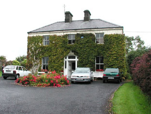 Springmounthouse · 4.1 mi
Other information
Photo: Credit not shown in the picture search · Rights wording not checked; contact us if this picture should be removed