What is recorded here
On flat ground, on the lower slopes of the Ox Mountains. Indicated as an embanked circular area (diam. c. 30m) on the 1838 and 1914 OS 6-inch maps. Only the W half of the enclosure survives, consisting of a raised D-shaped area (dims. 13.5m E-W; straight E side L 22.5m N-S) on the W side of a deep drain, defined by a flat-topped earthen bank (Wth 4m; int. H 0.6m; ext. H 1m) SW-W and by a scarp (H 0.7m) elsewhere. The interior slopes gently down to SSE. The enclosure is partially overgrown with grass, ferns and some coniferous trees. There are no visible remains of the E half of the rath; farm buildings now occupy this area.
The above description is derived from the published 'Archaeological Inventory of County Sligo' compiled by Ursula Egan, Elizabeth Byrne, Mary Sleeman with Sheila Ronan and Connie Murphy (Dublin Stationery Office, 2005).
Date of upload: 18 January 2008
This remains an important historical record, but the official description says the monument is no longer visible or has been destroyed. The monument record does not grant public access. Check the route and ask the landowner before entering private land.
- What survives
- No visible remains or recorded as destroyed
Places near here
 IndicatedFairy fort / earthen ringfort · 959 yd
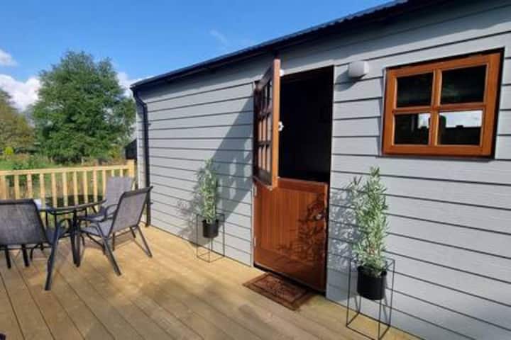 Enclosure in Leitrim NorthEnclosure · 1.4 mi
 FriaryReligious house, Franciscan Third Order Regular · 1.6 mi
 Tawnyart WoodWood · 1.9 mi
 New WoodWood · 2.2 mi
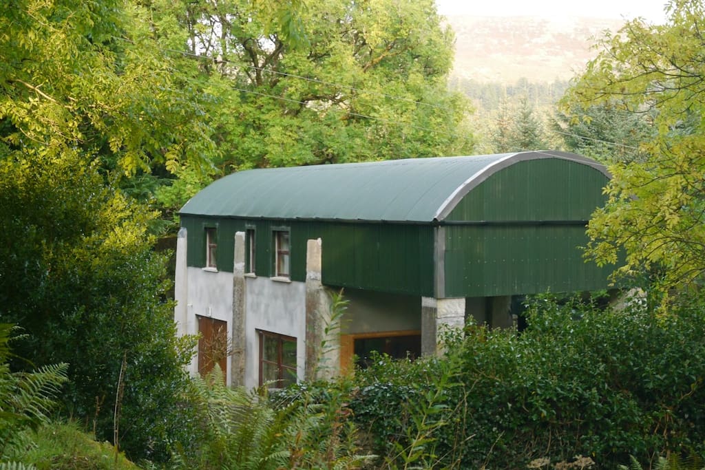 CloonacoolMountain / peak · 2.8 mi
 Mass RockNamed rock · 3.1 mi
 Ballyara Castle (in Ruins)Castle, unclassified · 3.4 mi
 Castle (Site of)Castle, unclassified · 3.5 mi
 The Turf Stack RockNamed rock · 3.5 mi
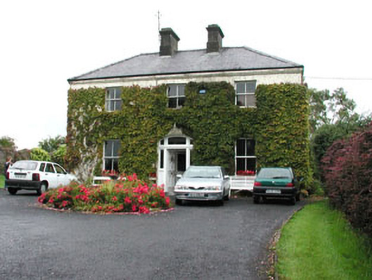 Springmounthouse · 3.6 mi
 Muckelty HillMountain / peak · 3.7 mi