What is recorded here
Due to an error in the SMR files this possible rath was recorded as levelled and not visible at ground level (Egan et al. 2005). It is, however, extant. It consists of a roughly circular area (diam. c. 35-40m) enclosed by a bank which has been incorporated into later field boundaries/hedgerows.
Compiled by: Jane O'Shaughnessy
Date of upload: 13 September 2013
The monument record does not grant public access. Check the route and ask the landowner before entering private land.
- What survives
- Recorded monument
Places near here
 IndicatedFairy fort / stone ringfort · 800 yd
 Tawnyart WoodWood · 1.5 mi
 Enclosure in Leitrim NorthEnclosure · 1.8 mi
 New WoodWood · 1.8 mi
 FriaryReligious house, Franciscan Third Order Regular · 2.0 mi
 CloonacoolMountain / peak · 2.5 mi
 Mass RockNamed rock · 2.7 mi
 Castle (Site of)Castle, unclassified · 3.4 mi
 Ballyara Castle (in Ruins)Castle, unclassified · 3.4 mi
 The Turf Stack RockNamed rock · 3.6 mi
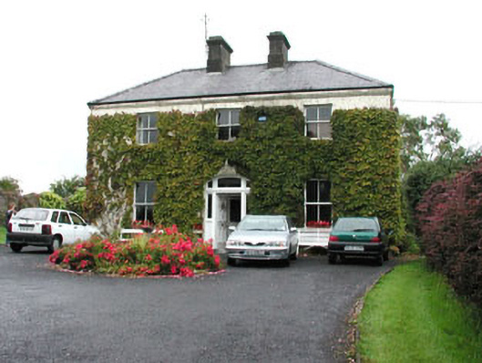 Springmounthouse · 3.8 mi
 Muckelty HillMountain / peak · 4.1 mi