What is recorded here
Named 'Sweat Ho' on the 1838 edition of the OS 6-inch map. It is not marked on the 1942-3 edition. There are no surviving remains visible.
Compiled by: Archaeological Survey Unit, UCC with revisions by Patrick F. O'Donovan and Paul Walsh
Date of upload: 20 June 2011
The monument record does not grant public access. Check the route and ask the landowner before entering private land.
- What survives
- Recorded monument
Places near here
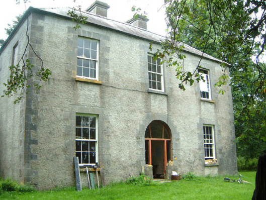 Redhill Househunting/fishing lodge · 882 yd
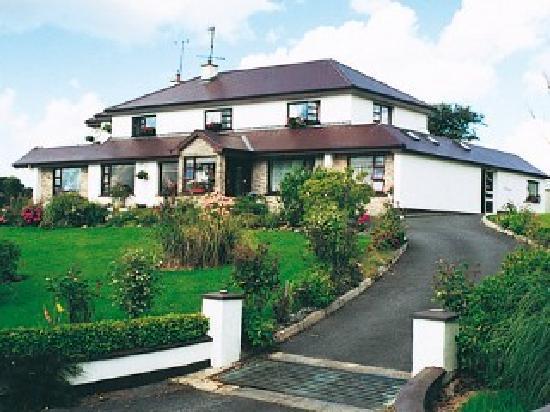 IndicatedFairy fort / stone ringfort · 1055 yd
 Moygara Castle (in Ruins)Bawn · 1.3 mi
 Moygara CastleCastle · 1.3 mi
 Indicated (1838).Enclosure · 1.7 mi
 Templerooaun (in Ruins)Church · 2.2 mi
 Crow IslandIslet · 2.2 mi
 Inch IslandIslet · 2.7 mi
 Castle PointHeadland · 2.9 mi
 Curlew MountainsMountain / peak · 3.0 mi
 Rose PointHeadland · 3.6 mi
 Caves of KeshCave · 4.9 mi